
Only 1.5% of Modelled High Collision-risk Area for Jungle Cats in Northern Iran Overlapped Protected Areas
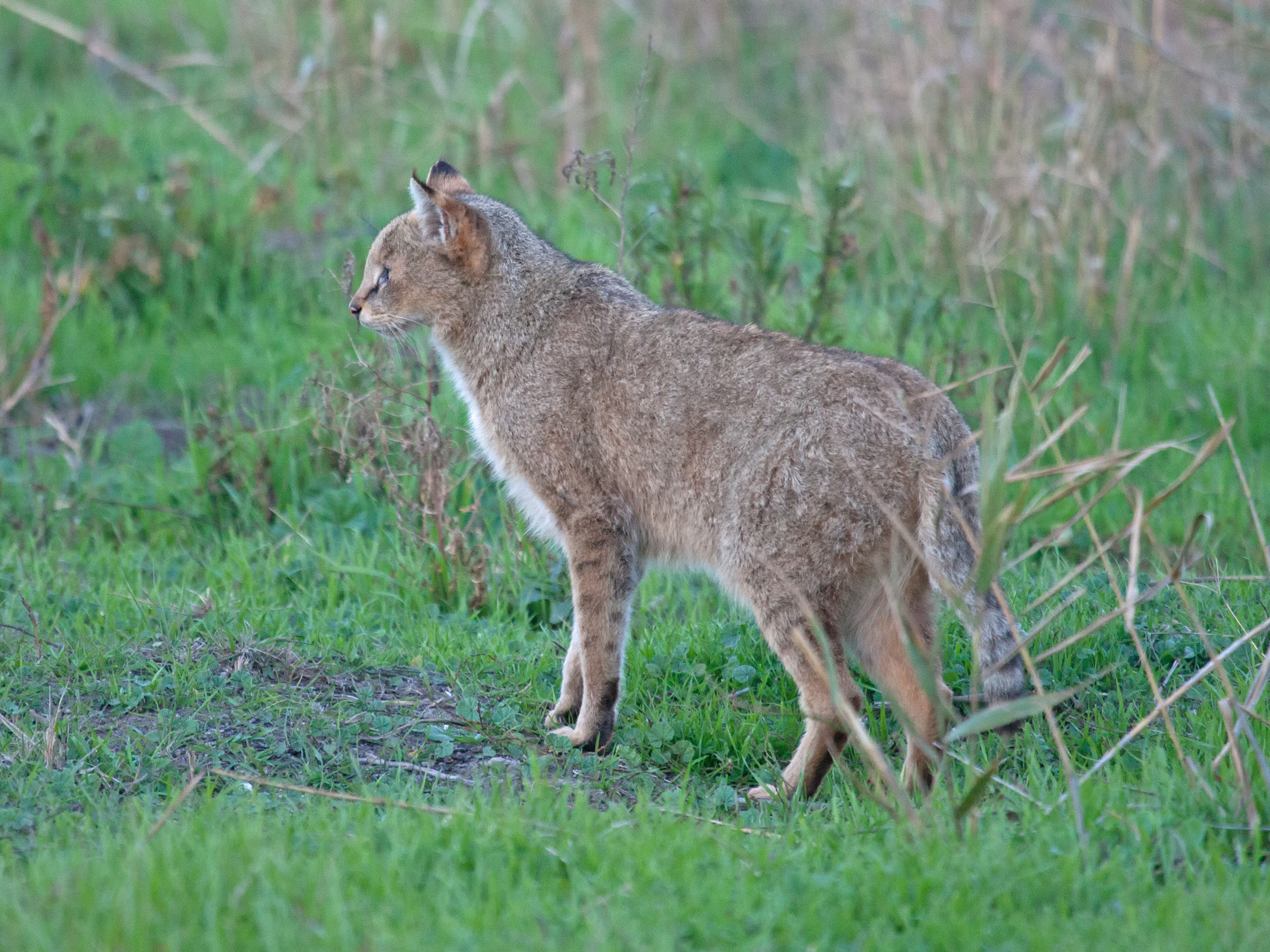
A road-mortality study in northern Iran mapped where jungle cats (Felis chaus) are most likely to be recorded in vehicle collisions in the Hyrcanian forest region. The model classified 13,878 km² as high collision-risk area, of which only 213 km² — 1.5% — overlapped Iran’s protected-area network.
The result describes the overlap between a modelled high-risk landscape and protected areas. It does not mean that 98.5% of all jungle-cat collisions occur outside protected areas, nor does it measure how many jungle cats live inside or outside the protected network.
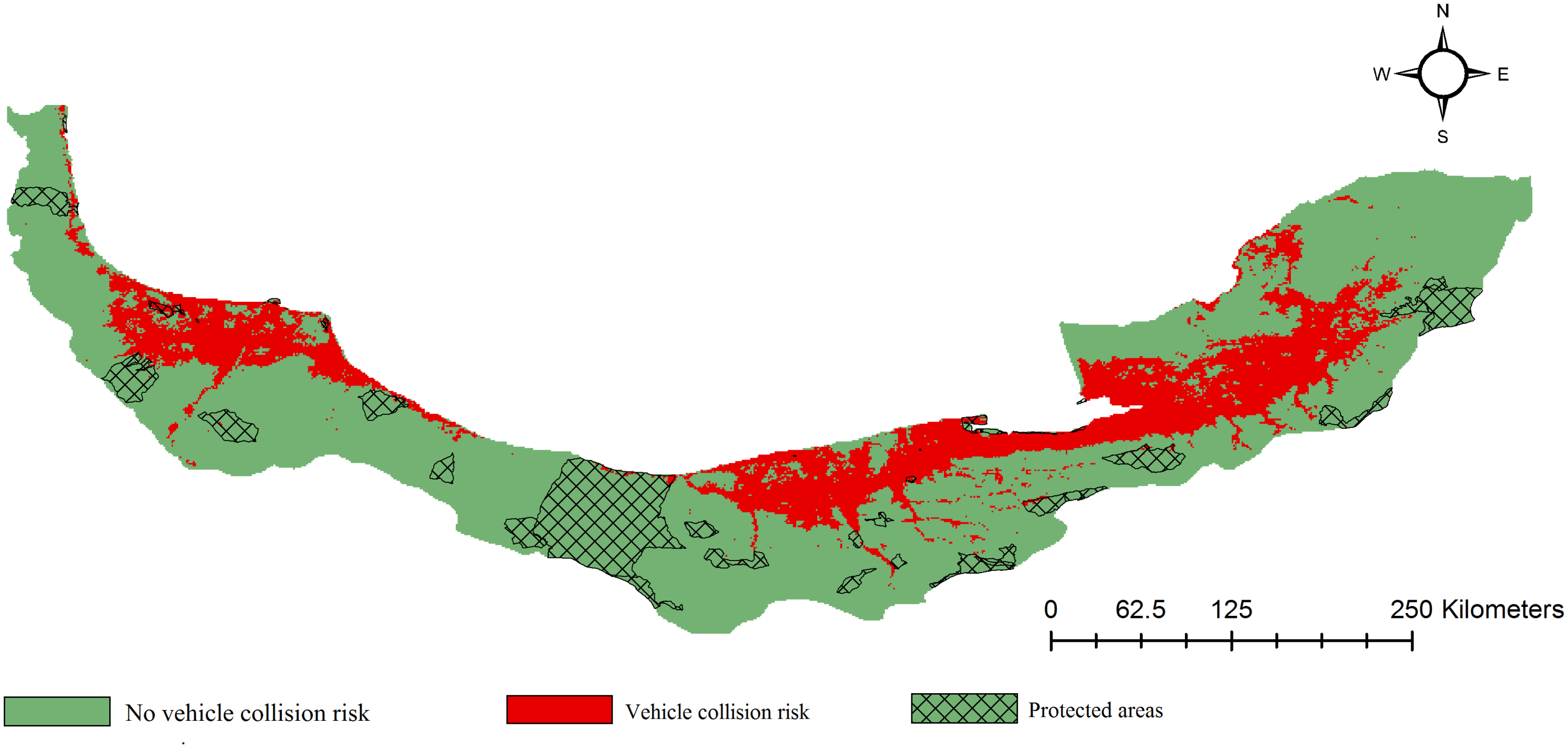
The model was built from 30 confirmed road mortalities
The researchers compiled 30 confirmed jungle-cat mortality incidents from Gilan, Mazandaran and Golestan provinces. Every record was made directly by the authors or colleagues and involved an observed carcass. All 30 collisions occurred on primary asphalt roads, at elevations from sea level to 437 metres.
They used these locations in a MaxEnt model. In practical terms, MaxEnt compares the environmental conditions at known collision points with the conditions available across the broader study area and identifies combinations that resemble the recorded collision sites. The output is a map of relative collision-risk suitability rather than a direct count of expected deaths.
A separate binomial generalized linear model was used as an independent check on the broad environmental relationships. The researchers also repeated MaxEnt within zones extending one and five kilometres from roads. These analyses repeatedly identified western and central Golestan, eastern Mazandaran and central Gilan as the main high-risk regions.
“High risk” was defined by a model threshold
The continuous MaxEnt risk map was converted into high- and lower-risk areas using a statistical threshold of 0.21 chosen to balance the model’s sensitivity and specificity. Areas above that threshold totalled 13,878 km². When this map was overlaid with the national protected-area layer, 213 km² of the high-risk class fell inside protected areas.
The 1.5% figure therefore quantifies spatial overlap between two maps: modelled collision risk and legal protection. It is not a percentage of jungle-cat habitat, population size or recorded carcasses.
Human footprint and greener lowlands characterized many collision sites
In the MaxEnt model, human footprint contributed 48.3% to the model and slope 17.2%. These percentages describe how much those variables contributed to the model’s predictive fit; they are not percentages of collision risk caused by people or terrain.
The human-footprint index combines several forms of human influence, including built areas, population density, cropland, pasture, roads, railways and other infrastructure. Collision risk increased with this combined human footprint. The separate statistical analysis likewise identified human footprint as one of the strongest predictors.
NDVI — a satellite-based index of vegetation greenness and density — was also positively associated with collision locations and was especially important in the second modelling approach. Risk increased nearer rivers and wetlands and tended to be lower on steeper slopes. Together, these patterns are consistent with jungle cats using productive, low-lying wetland and riparian landscapes that also contain dense road and human infrastructure.
The authors caution that roadkill records represent places where the distribution of jungle cats intersects with the road network. A strong association with human footprint therefore does not mean that heavily developed areas necessarily support more jungle cats; it may partly reflect where cats, roads, vehicles and people are most likely to meet.
The protected-area result also needs geographical context
Much of northern Iran’s protected land lies in steeper mountain terrain, whereas the collision model identified lower, flatter areas as riskier. The authors note that protected areas may therefore contain both fewer roads and potentially lower jungle-cat densities than the unprotected lowlands. The small 1.5% overlap should not be interpreted as a direct test of whether protected areas are effective at conserving the species.
Mitigation centred on crossings and roadside habitat
For existing roads, the researchers recommend directing animals toward safer crossing points using fencing combined with underpasses, bridges or culverts. They also suggest testing targeted management of dense low roadside vegetation near rivers and wetlands, while recognizing that vegetation removal could itself increase the barrier effect of roads.
For future road planning, the mapped high-risk regions can help identify places where alignments through riparian and wetland habitat would create particularly high collision risk. The authors call for broader road-mortality mapping across the jungle cat’s Iranian range so that mitigation can be targeted where the intersection between cats and roads is greatest.
Threats
Related news
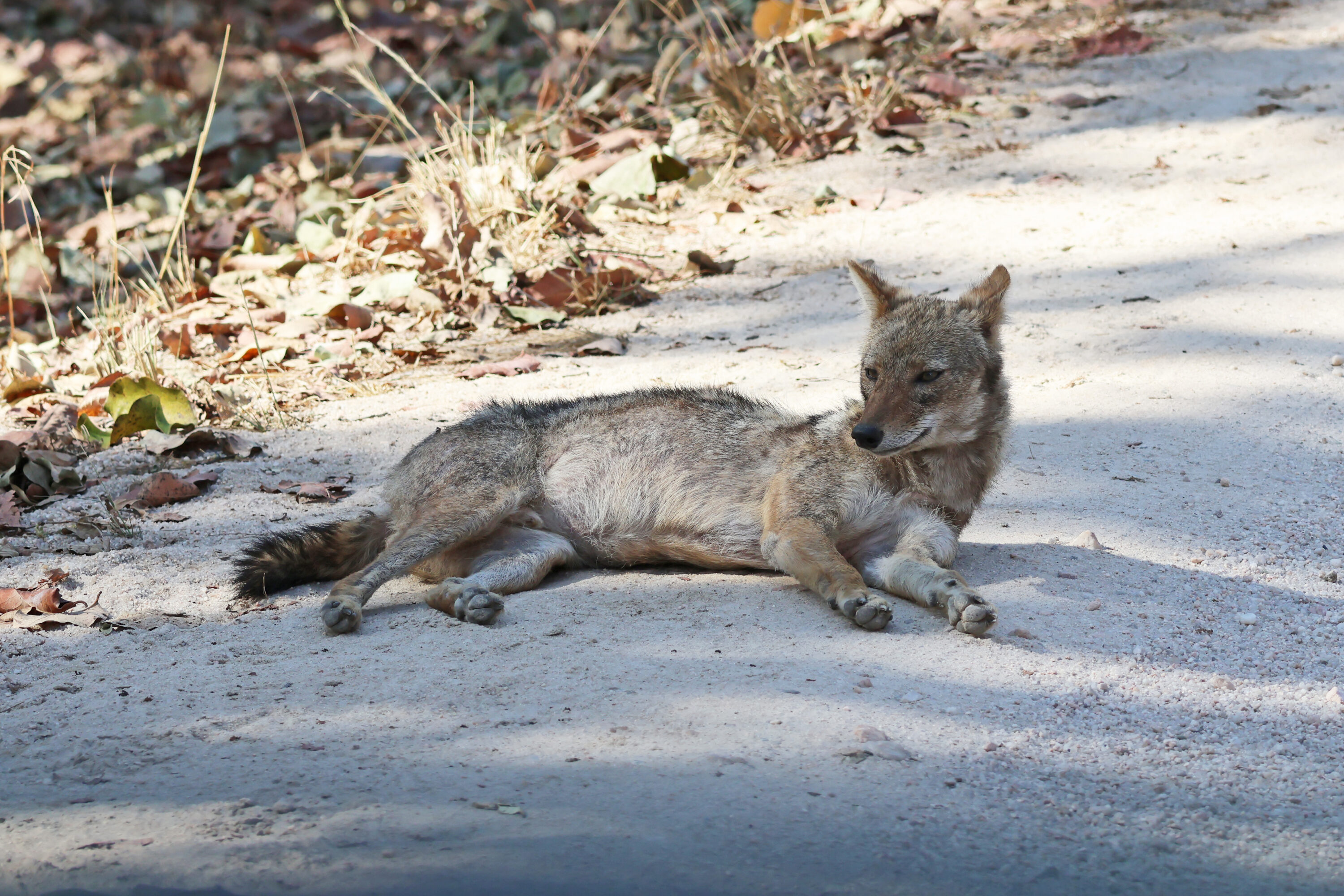
Golden Jackal Diet Was Dominated by Livestock Carrion, While Jungle Cats Focused on Small Mammals
Scat analysis in Madhya Pradesh found livestock carrion contributed about 80% of estimated prey biomass in golden jackals,…
Read story →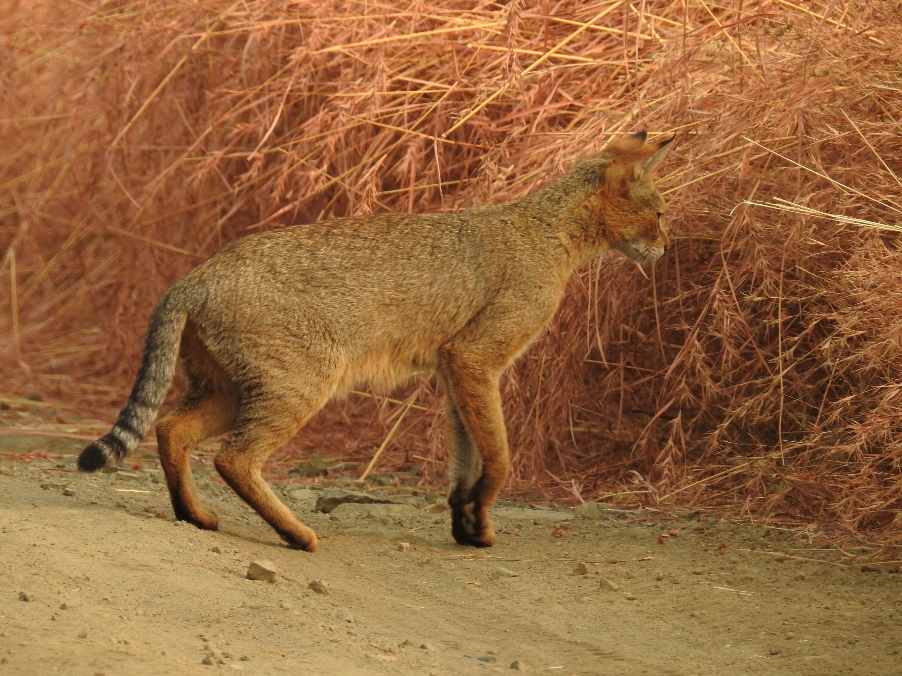
Endogenous Feline Leukemia Virus Entered the Jungle Cat Genome Hundreds of Thousands of Years Ago
A 2026 genomic study dated integration of endogenous feline leukemia virus in the jungle cat lineage to roughly…
Read story →
Jungle Cats and Leopard Cats Overlapped Strongly at Night but Differed in Habitat Use in Bardia
Camera traps in Bardia National Park found 17% estimated occupancy for jungle cats and 19% for leopard cats,…
Read story →SPECIES IN THIS STORY
Species in this story
Independent research and conservation news archive
Did you find this information useful?
Wildlife Vagabond is independently built and maintained. Voluntary support helps cover source verification, hosting and continued work on research and conservation news.
Support Wildlife VagabondThe news archive will remain freely available.