
Even Adirondack Park’s Densest Moose Area Was Too Sparse for Precise Aerial Estimates
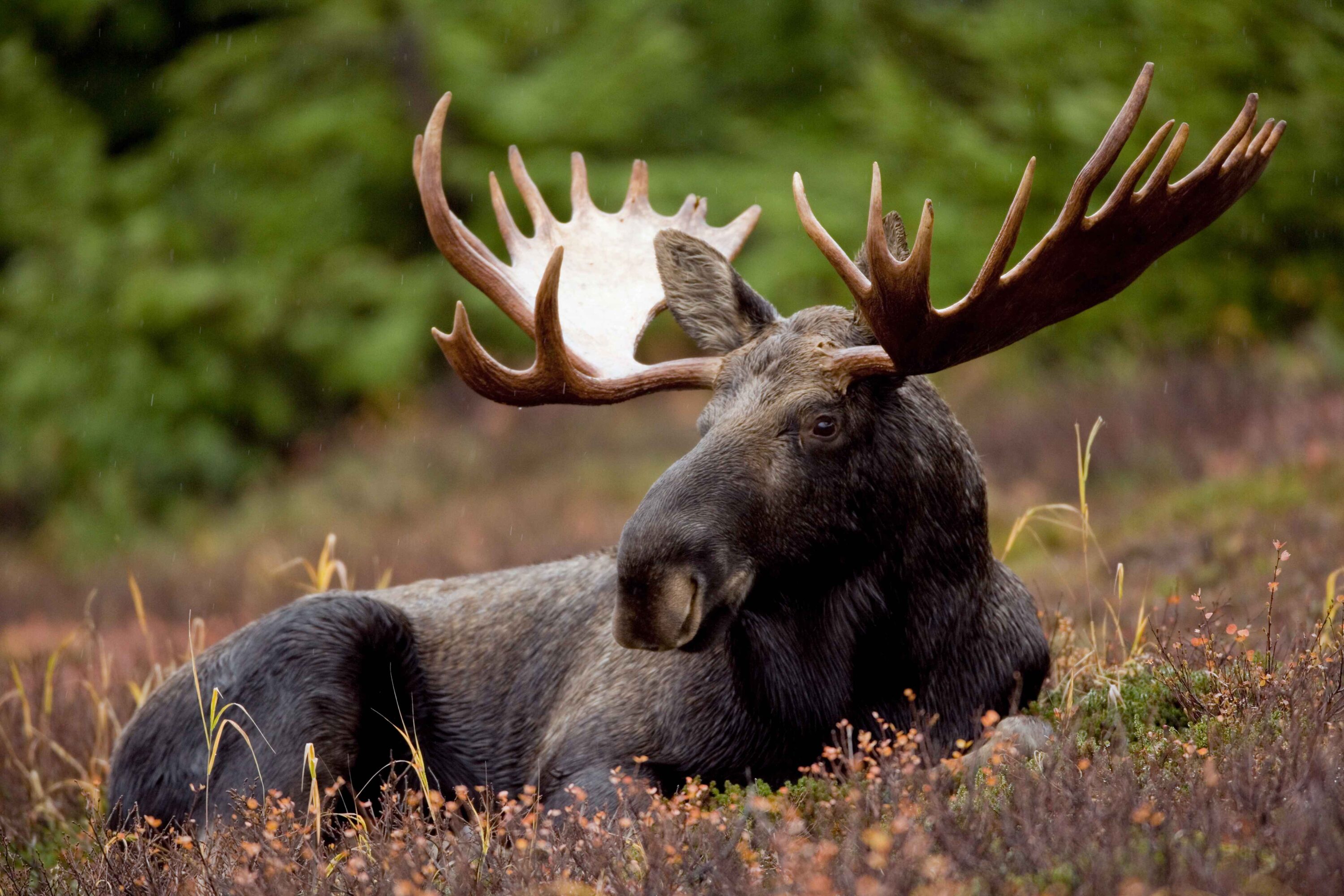
Researchers hoped the part of Adirondack Park with the highest known moose density could provide a precise index of the wider population. Even there, however, moose (Alces alces) were so sparse that helicopter surveys could not achieve the precision the team wanted. The core-area estimates were about 92 moose in 2024 and 112 in 2025, but the uncertainty around both figures was too broad to treat them as a precise measure of short-term population change.
The study focused on a 2,100-square-kilometre core area within Adirondack Park in northern New York, USA, rather than the entire 24,280-square-kilometre park. The core contained 70 survey blocks. Crews covered 46 of them in 2024 and 67 in 2025, concentrating the work where previous surveys and tracking data indicated moose were most common.
Too Few Sightings Limited the Distance-Sampling Estimate
The researchers used distance sampling: observers flew set helicopter transects and recorded moose groups and their distance from the flight line, allowing the analysis to account for animals that were present but not detected. The 2024–2025 surveys alone produced too few independent sightings to estimate reliably how many animals observers were missing, so the team combined them with observations from 2018–2020. Across the five survey years they recorded 136 moose groups.
After extrapolating across the few core blocks that were not surveyed in each year, estimated density was about 0.05 moose per square kilometre in both years. Uncertainty around the annual abundance estimates remained large.
The Core Area Was Still Too Sparse for the Intended Index
The aim had been to obtain a sufficiently precise core-area estimate to help track the wider Adirondack population without repeatedly surveying the whole park. That precision target was not met. The authors attribute the problem largely to New York’s very low moose density: even concentrating flights in the densest part of the range did not yield enough independent detections.
Aerial surveys can still provide useful information about distribution, group size and approximate abundance. But when surveys are carried out only periodically, broad uncertainty makes modest population changes difficult to detect reliably. The authors therefore recommend that managers define exactly what a population estimate needs to accomplish before committing to an aerial survey and explore alternative monitoring methods for this low-density population.
Population & status
Related news
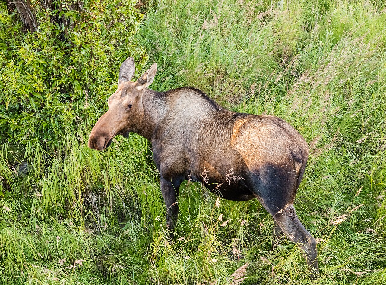
Arctic Moose Follow the River Valleys
GPS tracking in Alaska showed that half of 24 female moose migrated between summer and winter ranges. Migrants…
Read story →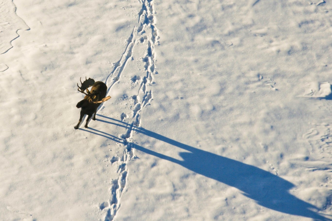
Thermal Drones Found Nearly All Moose in Favourable Winter Weather
Swedish trials found detection close to 100% in cold, overcast winter conditions, but the survey effort needed for…
Read story →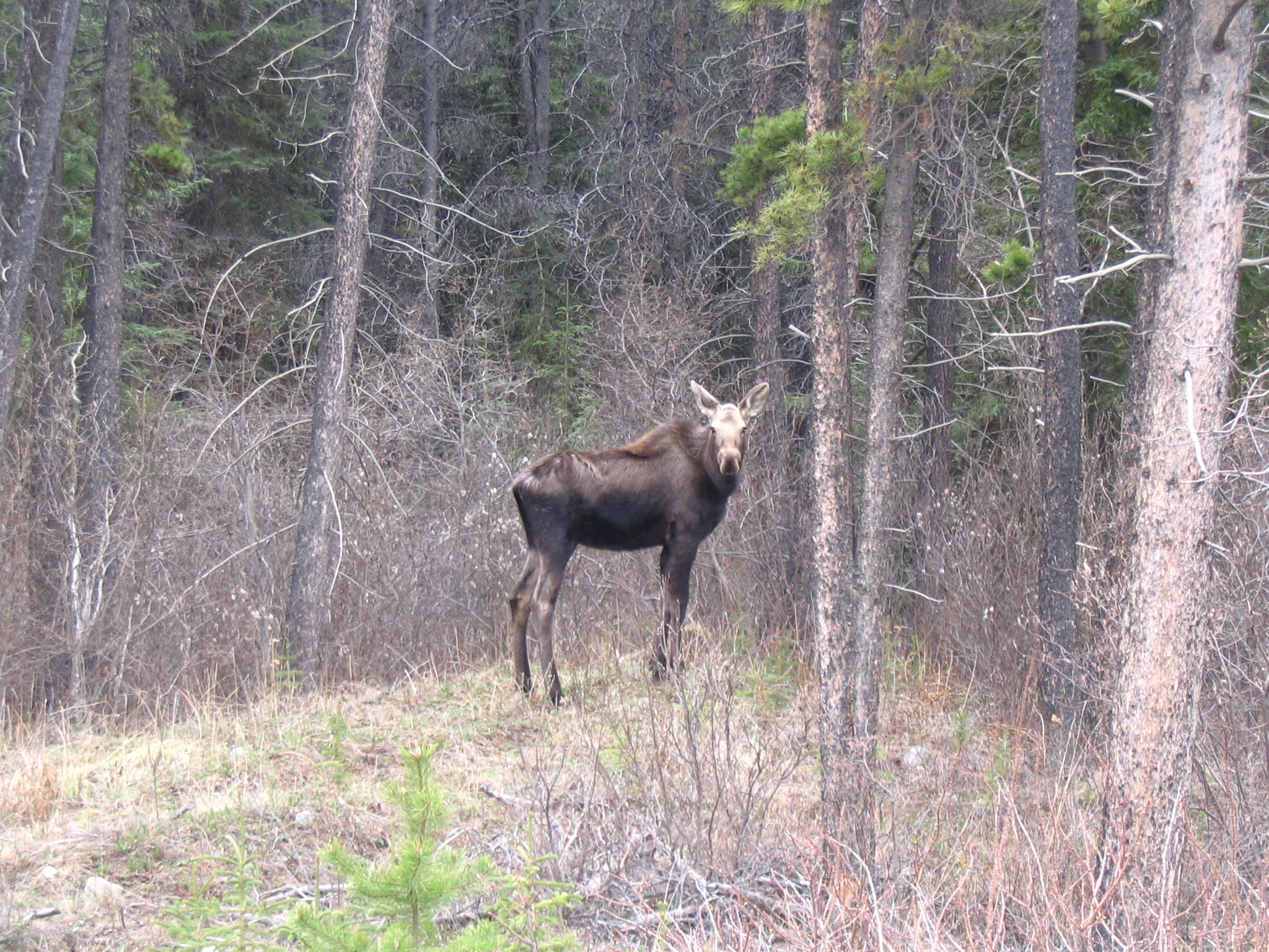
Female Moose Were More Likely to Migrate When Winter Ranges Had More Wildfire Disturbance
GPS data from 461 female moose in central British Columbia showed that spring migration was more likely when…
Read story →SPECIES IN THIS STORY
Species in this story
Independent research and conservation news archive
Did you find this information useful?
Wildlife Vagabond is independently built and maintained. Voluntary support helps cover source verification, hosting and continued work on research and conservation news.
Support Wildlife VagabondThe news archive will remain freely available.