
Public Caracal Sightings Reproduced Key Habitat Patterns From GPS Collars in Cape Town
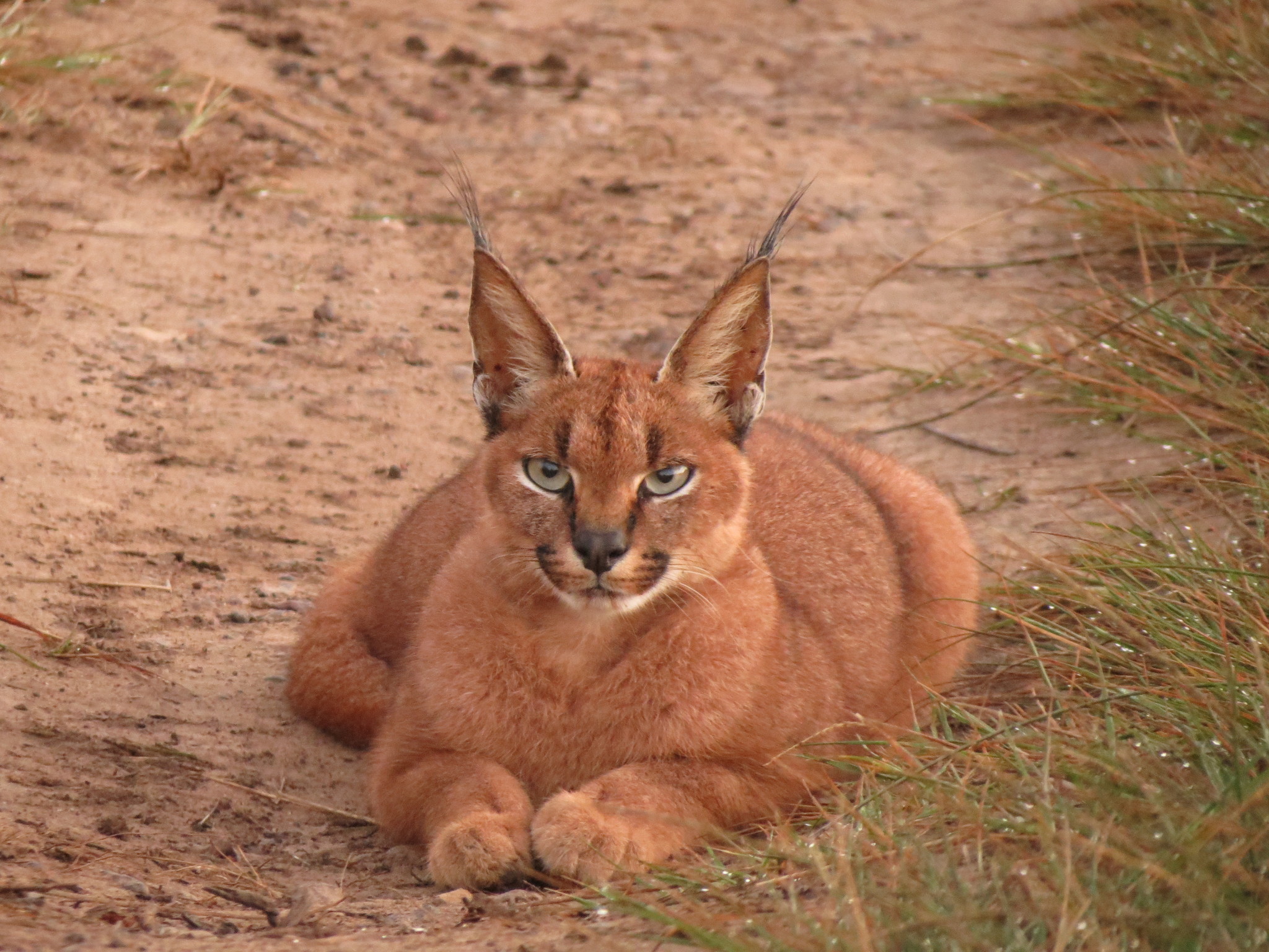
Publicly reported caracal (Caracal caracal) sightings in Cape Town, South Africa produced several of the same broad habitat-selection patterns as GPS-collar data, according to a study published on 21 February 2026 in Urban Ecosystems.
Researchers compared 897 verified sightings submitted by members of the public with 14,253 GPS locations from collared caracals on the northern Cape Peninsula. The public sightings covered an 11-year period, while the GPS data came from three years of intensive tracking.
The two datasets differed strongly in how they were collected. GPS collars recorded locations throughout the day at regular intervals, whereas public observations were concentrated at times and places where people were active. Most public sightings occurred while people were hiking, running, cycling, horse riding or driving, and the largest hourly share was recorded between 17:00 and 18:00.
Public sightings reproduced three broad habitat patterns from GPS data
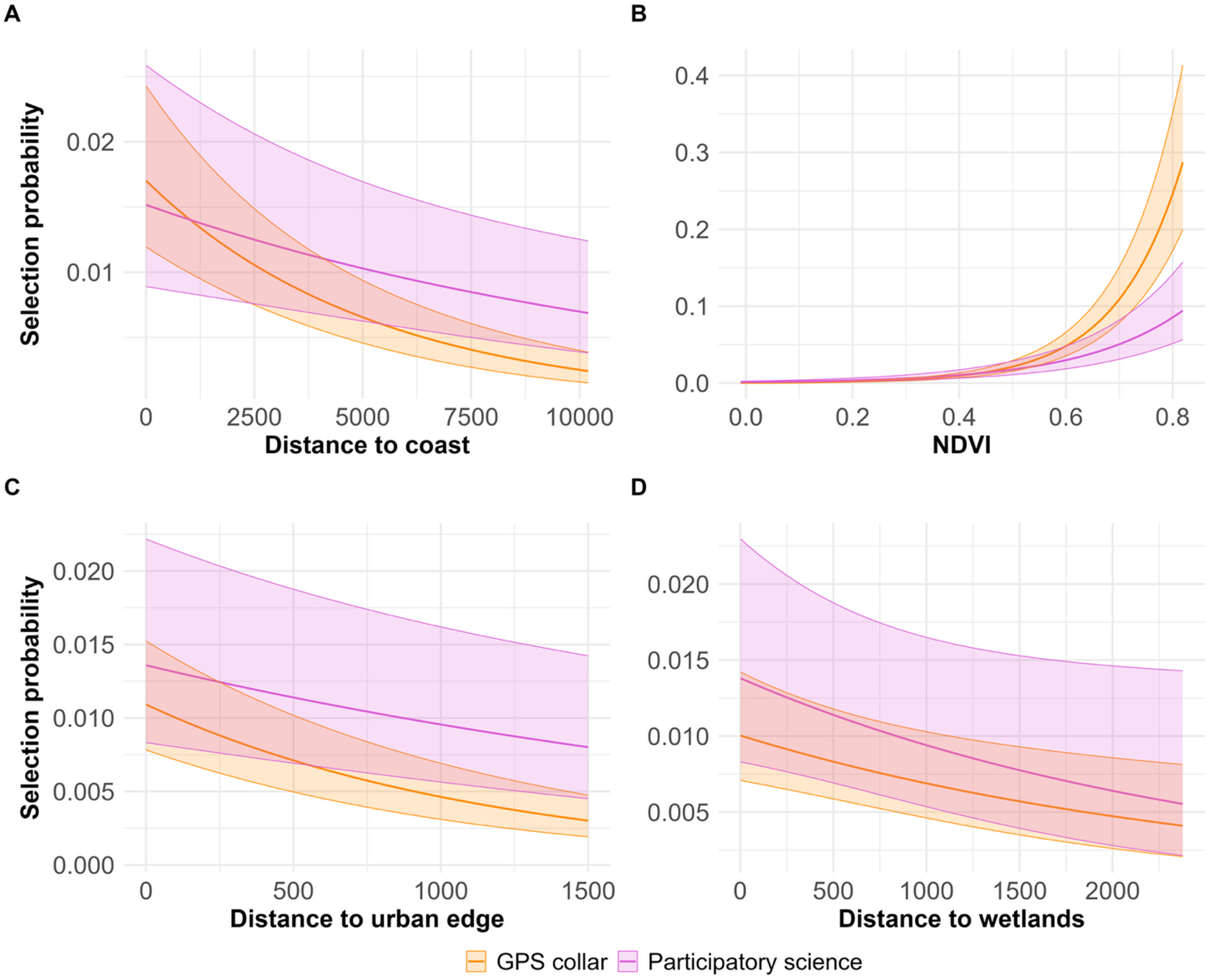
Despite these differences, the two datasets told a similar broad story about habitat use. In both models, caracal use changed in the same direction with distance to the urban edge and coast and with vegetation greenness. Both also indicated greater use of greener areas and areas closer to the coast. Distance from wetlands showed the same directional response in both models, but the relationship was statistically clear only in the GPS data.
Public sightings pointed more strongly to modified areas and covered less of the study area
The datasets differed for some habitat features. GPS data indicated the strongest selection for wildland habitat, whereas the model based on public sightings gave stronger selection for modified areas. The authors caution that this contrast may reflect observer bias rather than a true ecological difference: dense wildland vegetation can make caracals harder for people to detect, while roads, trails and more open modified areas are easier for observers to access. Public observations also covered a smaller part of the study area, and their habitat estimates were less precise than those from the GPS data.
In total, GPS locations occurred in 49% of the study area and public sightings in 28%. Nineteen and a half per cent of the 500-m grid cells used in the comparison contained records from both sources.
Verified public observations provided useful broad-scale information about caracal distribution and habitat use, while GPS telemetry remained better suited to fine-scale individual movement. The 11-year public-sighting series also extended the time span covered by the three years of intensive GPS tracking.
Ecology
Related news
India Released Its First Comprehensive National Conservation Framework for the Caracal, Fishing Cat and Clouded Leopard
The Wildlife Institute of India released a 220-page national action plan on 4 August 2026 for caracals, fishing…
Read story →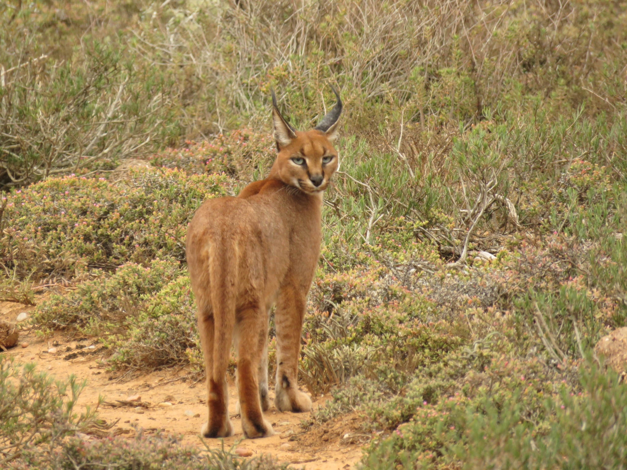
Anticoagulant Rat Poisons Were Detected in 78% of Sampled Cape Town Caracals
A ten-year Cape Town study found anticoagulant rodenticides in 78% of analysed caracal liver samples, with higher exposure…
Read story →
Camera Trap Confirmed Caracal Presence in Kuno National Park
A camera trap recorded a caracal in Kuno National Park in June 2026, providing a rare confirmed recent…
Read story →SPECIES IN THIS STORY
Species in this story
Independent research and conservation news archive
Did you find this information useful?
Wildlife Vagabond is independently built and maintained. Voluntary support helps cover source verification, hosting and continued work on research and conservation news.
Support Wildlife VagabondThe news archive will remain freely available.