
Detailed Satellite Mapping Improved Models of Possible Elephant Corridors in Zimbabwe
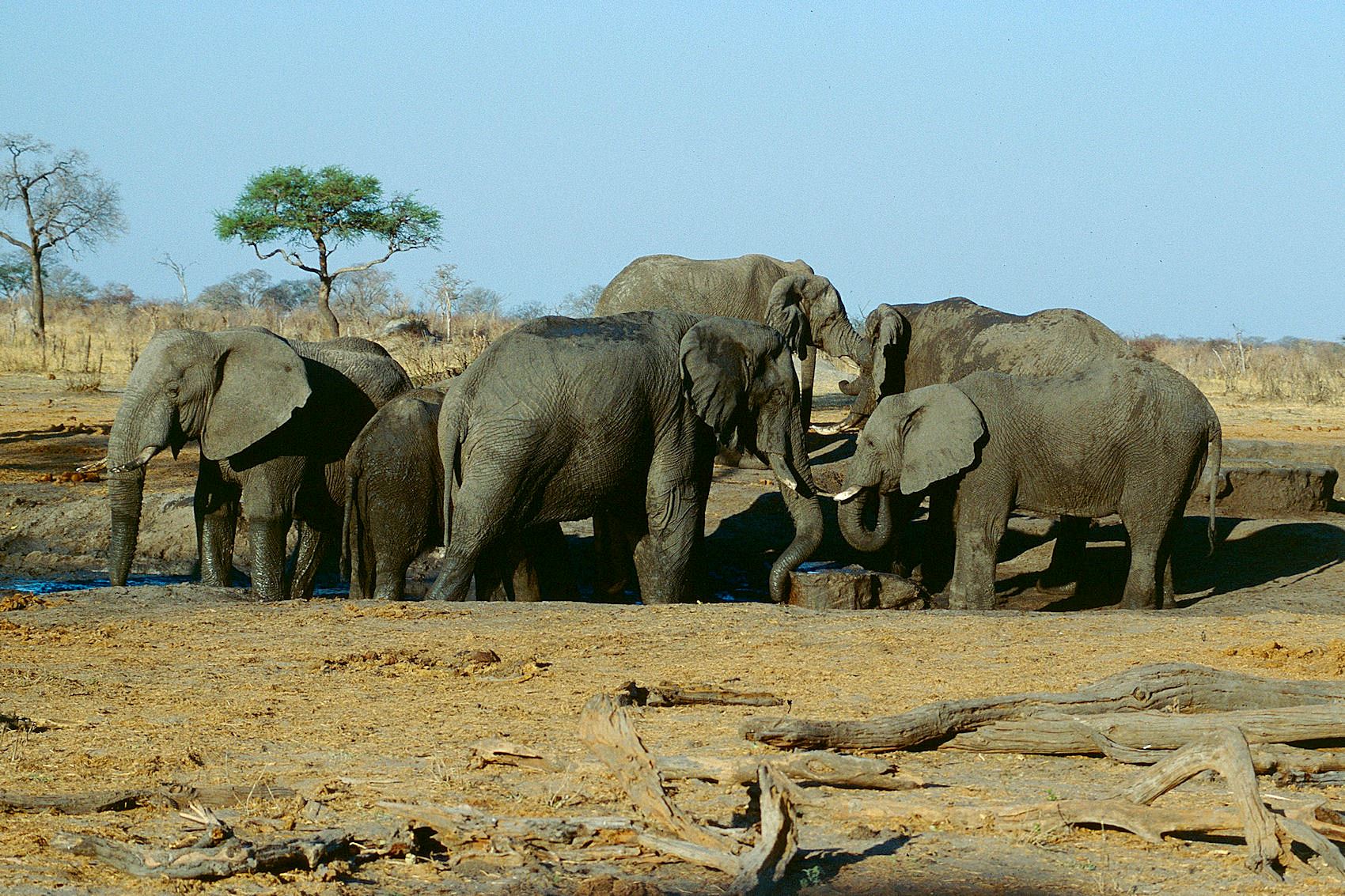
More detailed satellite mapping improved models of potential landscape connectivity for African bush elephants (Loxodonta africana) in Binga District, Zimbabwe. The study, published on 19 July 2026 in Landscape Ecology, tested whether a locally refined description of dry forest could improve models that assign different landscape features higher or lower movement suitability and combine them into possible connections between habitat areas. In these models, higher potential connectivity means that the landscape is expected to allow easier movement between habitat areas; it does not mean that elephants were directly observed using a route.
Forest type and structure sharpened the model
The researchers compared a global land-cover map with a Sentinel-2-based map that distinguished Miombo, Mopane and riparian forest and separated open, closed and shrub-like forest structure. They then added environmental factors known to influence elephant movement, including distance to water, settlements and cropland, vegetation greenness, wildfire frequency and slope. The resulting potential-connectivity patterns for wet and dry seasons were compared with two corridors previously mapped by local stakeholders.
The more detailed forest map improved the models’ ability to distinguish the stakeholder-mapped corridors from the surrounding landscape, and adding the environmental variables strengthened that contrast further. All three model versions showed higher potential connectivity inside the mapped corridors, but the most detailed model showed the clearest separation. The seasonal pattern also mattered: potential connectivity was generally higher and more diffuse in the wet season, while the contrast between corridors and the surrounding landscape was stronger in the dry season.
The maps show candidates, not confirmed elephant routes
These are maps of potential connectivity, not confirmed routes used by tracked elephants. The study did not validate the models with GPS tracking data from elephants, which the authors describe as the preferred test. The models also suggested a possible western corridor that had not been identified in the participatory mapping; local residents reported elephant use there, but the current study could not verify it directly.
The authors present the approach as a resource-efficient way to improve corridor planning where detailed tracking data are unavailable. The main gain is not a definitive map of elephant movement, but a more ecologically detailed way to identify candidate connections and decide where field validation may be most useful.
Habitat protection
Related news
An ancient viral gene may have been repurposed in elephant placenta
An ancient viral gene that appears to have been inherited for at least 79 million years is strongly…
Read story →
Three Ways of Analysing Elephant Calls Gave Different Results
Recordings from a semi-free herd in South Africa show how the method used to classify call timing can…
Read story →
African Bush Elephants Distinguished Artificial Food-Quantity Patterns at Close Range
In experiments in South Africa, four semi-tame elephants chose between visual patterns representing canopy size and leaf density.…
Read story →SPECIES IN THIS STORY
Species in this story
Independent research and conservation news archive
Did you find this information useful?
Wildlife Vagabond is independently built and maintained. Voluntary support helps cover source verification, hosting and continued work on research and conservation news.
Support Wildlife VagabondThe news archive will remain freely available.