
Satellite Data Identified Bird-Rich Areas Better Than the Species Actually Present in Central Norway
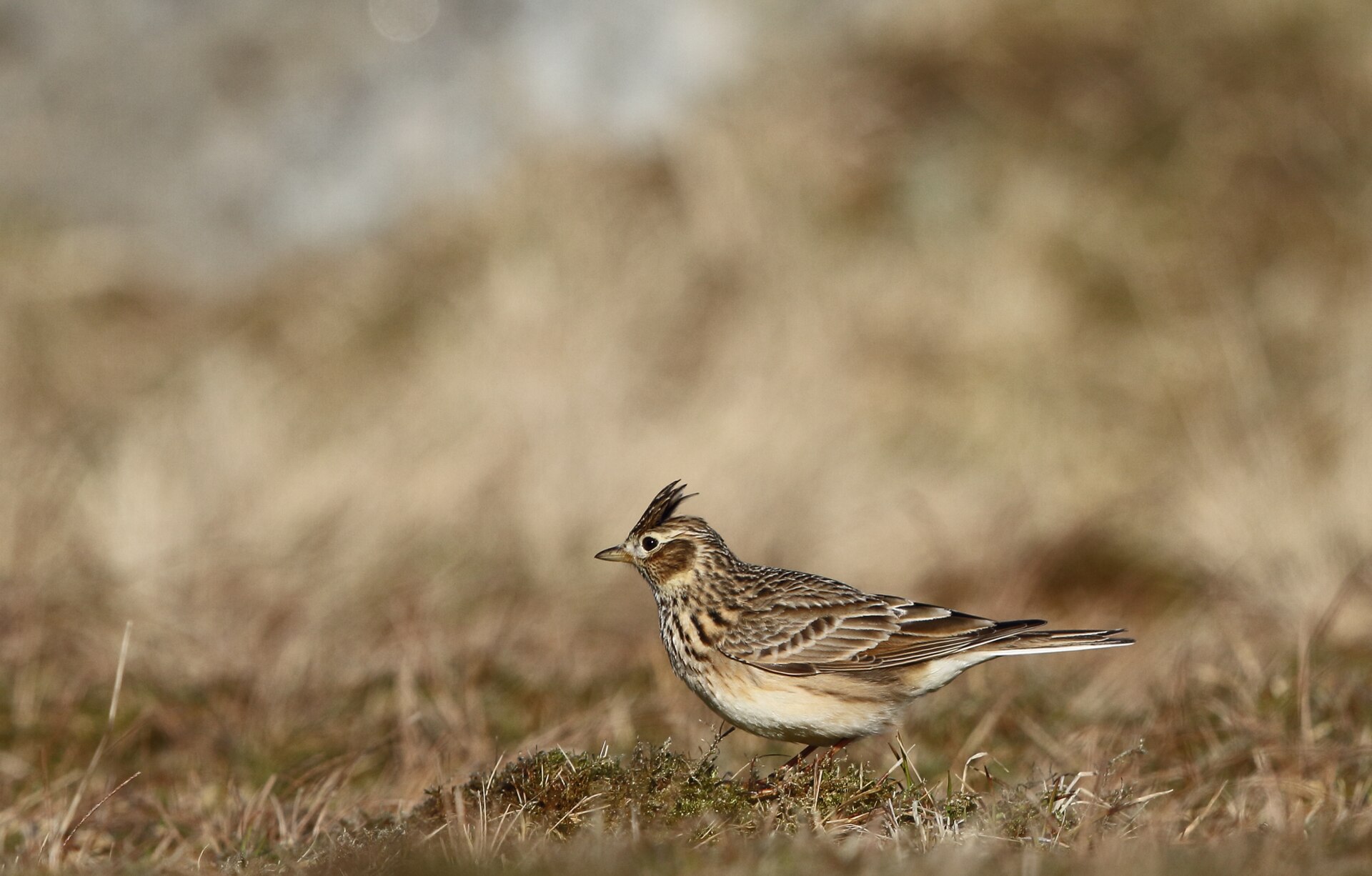
Satellite and climate data could identify broad patterns of bird diversity in Central Norway, but they were much better at showing which areas were relatively species-rich than at predicting exactly which bird species would occur there. The study combined long-term breeding-bird records from 89 monitoring routes in Trøndelag and Møre og Romsdal with remotely sensed information about climate and land cover.
This distinction matters because two places can contain a similar number of species while supporting very different bird communities. A map of “high bird diversity” therefore does not automatically tell us which species make up that diversity.
Broad diversity patterns were easier to predict than individual species
The models reproduced the broad ranking from species-poor to species-rich places reasonably well. They tended to overestimate richness at sites with few species and underestimate it at the richest sites, but they still captured where bird diversity was generally higher or lower.
They also reproduced species turnover better than the exact nested structure of communities. In practical terms, the models were better at recognising that the set of species changed from place to place than at reconstructing precisely which species should occur together at each site.
More than one-third of the individual bird species were still poorly predicted. This is an important limitation: a landscape can look suitable for high overall diversity in satellite data without the model being able to identify every species that actually uses it.
The surrounding habitat mattered, but no single scale fitted every species
The researchers compared environmental information around bird-count points at several spatial scales. A radius of 283 metres performed best on average, but the advantage was modest and individual species differed in which scale worked best. The two main land-cover products — a classified map derived from Landsat imagery and more direct Sentinel-2 spectral data — also performed similarly overall.
The biological message is therefore not that birds respond to one universal “correct” radius. Different species use landscapes at different scales, while a common intermediate scale can still be useful when the goal is to map broad biodiversity patterns across a large region.
Species that returned consistently were easier to model
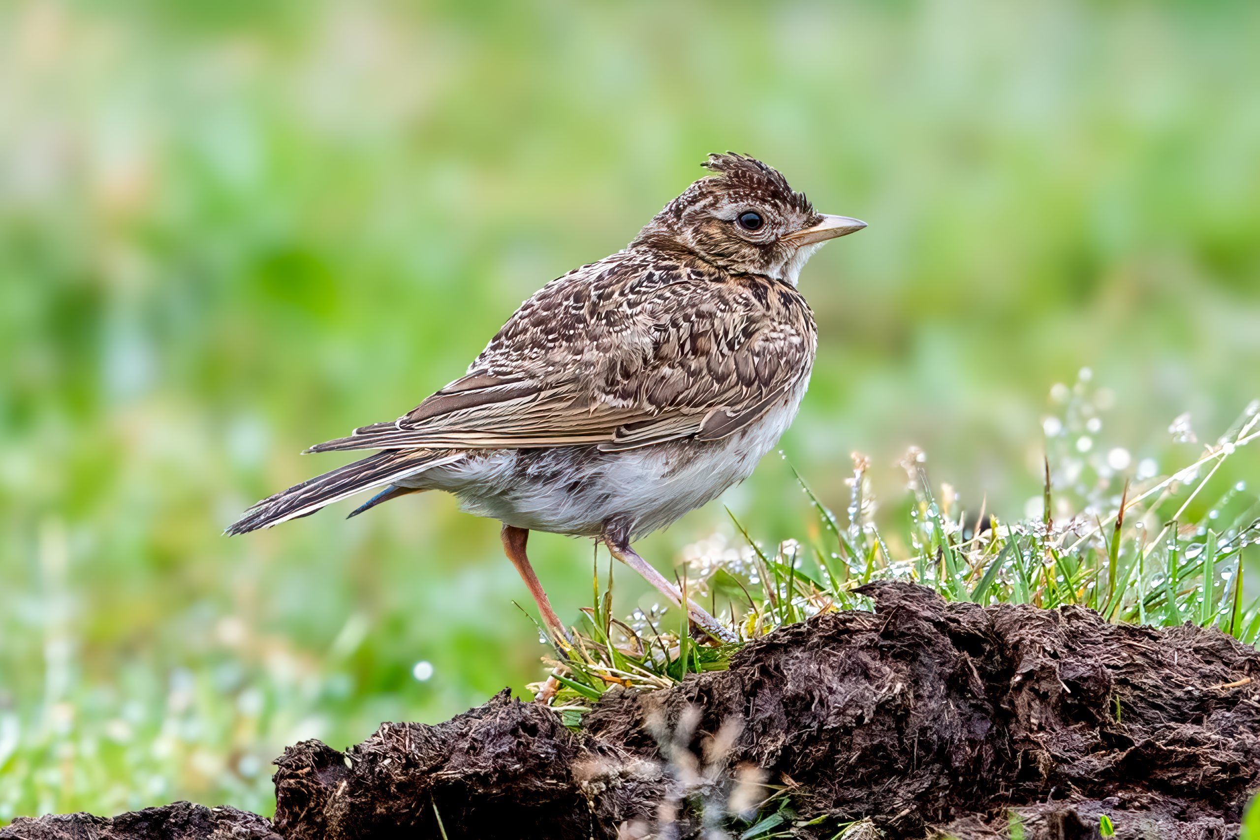
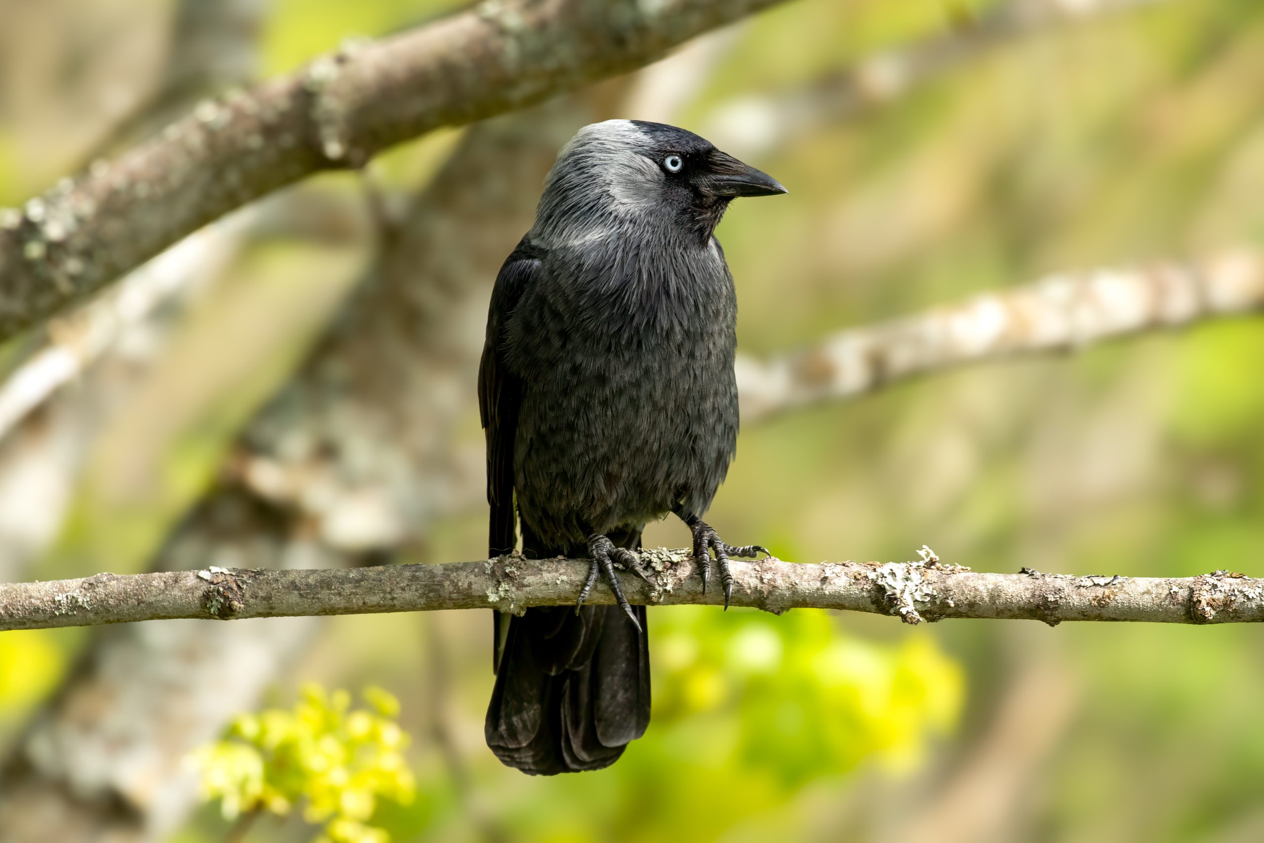
Birds that were recorded repeatedly at the same points over many years tended to be easier to predict from environmental conditions. Eurasian Skylark (Alauda arvensis) had the highest average observation stability in the dataset, while Eurasian Jackdaw (Coloeus monedula; reported as Corvus monedula in the paper) was recorded at the same point in all 14 monitoring years at the site where it occurred most consistently.
That pattern makes ecological sense: a single observation can reflect a mobile bird passing through, whereas repeated detections over many years provide stronger evidence that a species is regularly associated with a particular type of landscape.
The study therefore shows both the value and the limitation of Earth-observation data for bird monitoring. Satellite and climate information can help identify landscapes with high bird-diversity potential and broad changes in community composition, but long-term field observations remain essential when the question is which species actually occur there.
Ecology
Related news
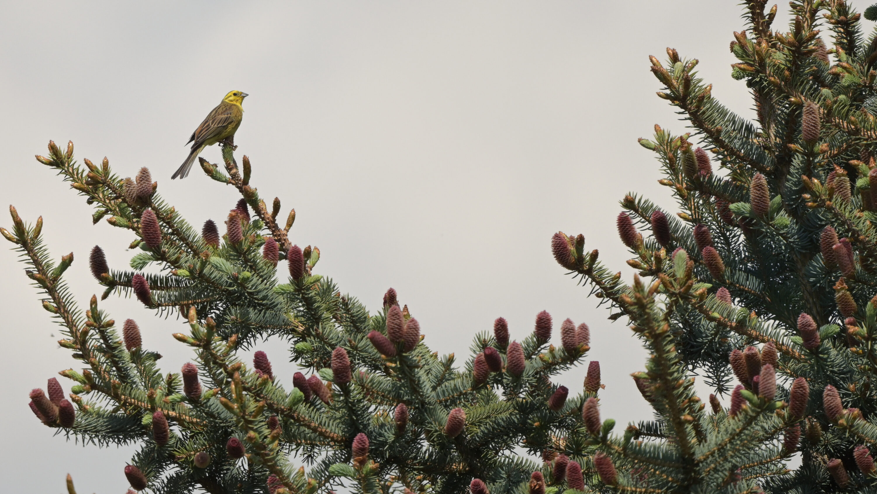
Diversified Crop Patches Had More Bird Observations Than Conventional Fields in Germany
A three-year study in Brandenburg recorded 20.0 bird observations per hectare in a diversified patch-cropping field, compared with…
Read story →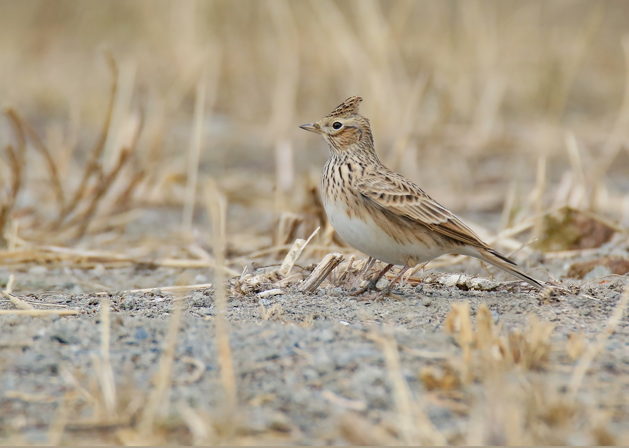
Legume Plots and Low-Input Cereal Strips Had at Least Five Times More Skylark Sightings
Seven years of monitoring on nine German commercial farms showed large differences among ten agri-environmental measures, with fallows…
Read story →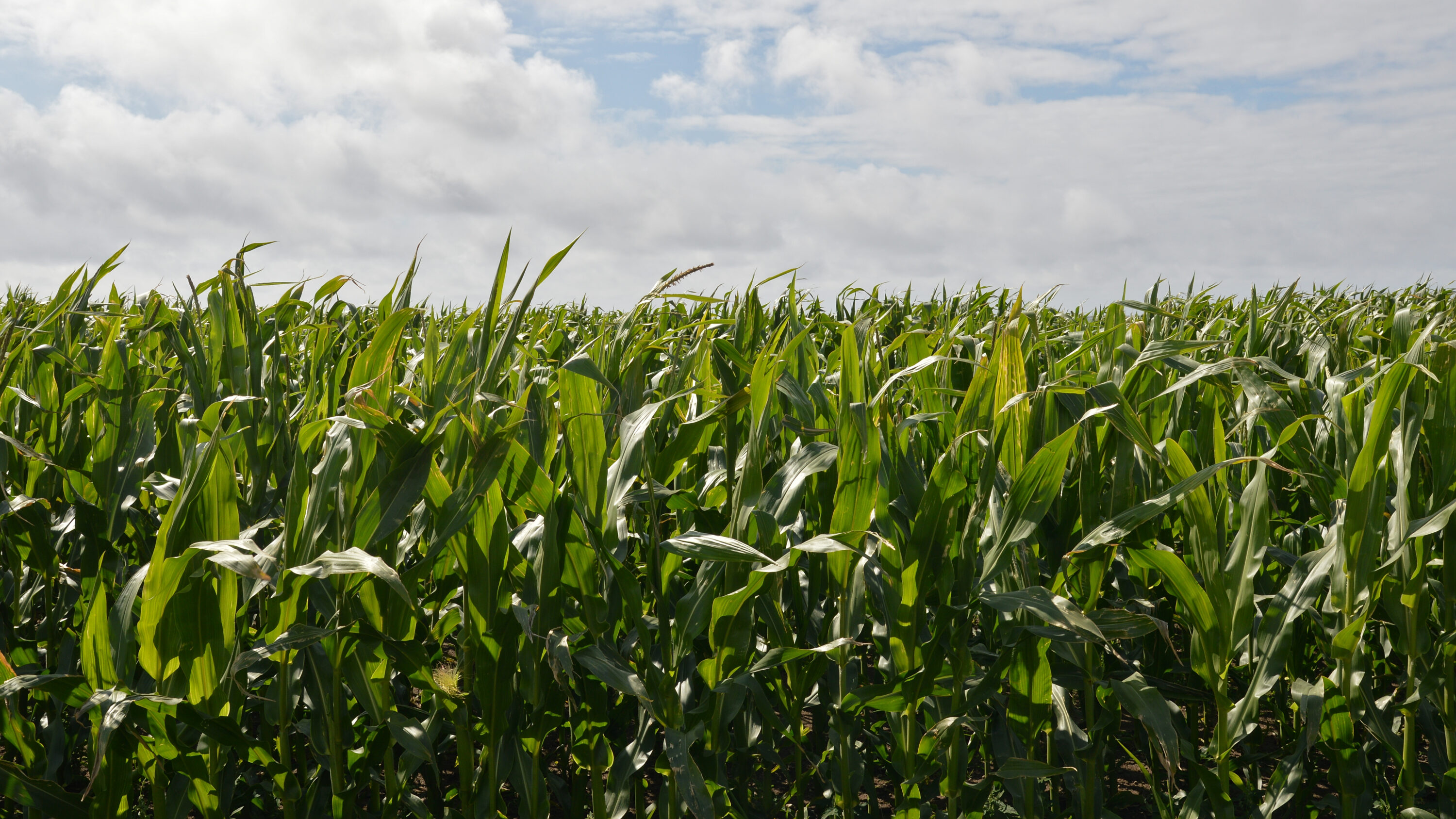
Polish Maize Fields Had Fewer Breeding Bird Species and Lower Bird Density
Across 122 plots in Poland, maize fields had fewer breeding bird species and lower bird density than mosaics…
Read story →SPECIES IN THIS STORY
Species in this story
Independent research and conservation news archive
Did you find this information useful?
Wildlife Vagabond is independently built and maintained. Voluntary support helps cover source verification, hosting and continued work on research and conservation news.
Support Wildlife VagabondThe news archive will remain freely available.