
High-Biomass Lichen Patches Were Rare Across Two Newfoundland Caribou Ranges
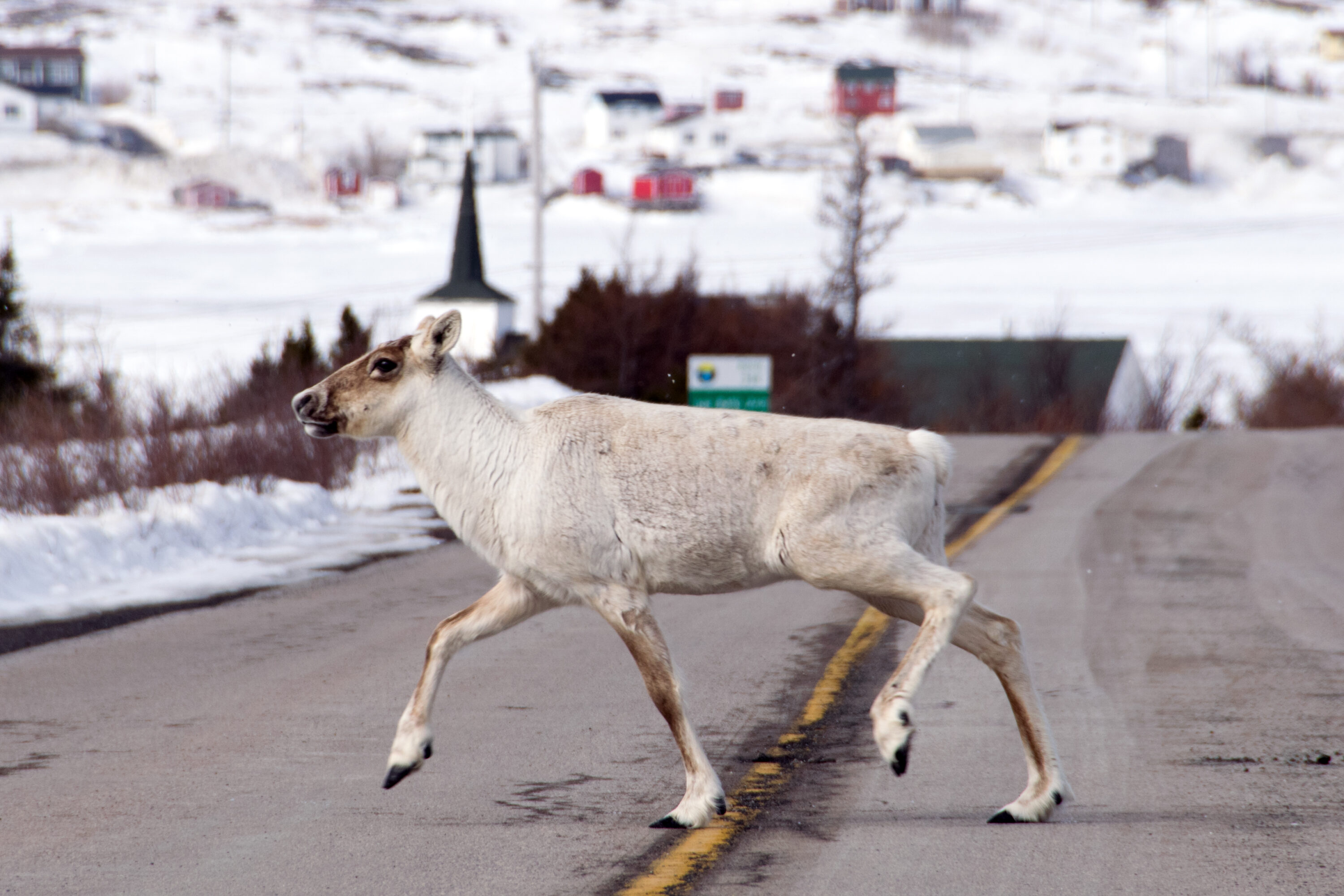
Long-term satellite mapping across two woodland caribou (Rangifer tarandus caribou) ranges in Newfoundland, Canada found that high-biomass lichen forage was rare and scattered rather than forming extensive continuous areas. The study reconstructed annual lichen volume from 1984 to 2022 across the Gros Morne and Gaff Topsails ranges, where terrestrial and arboreal lichens are an important winter food resource.
Field plots anchored nearly four decades of satellite estimates
The researchers combined Landsat time series with annual vegetation classifications and field measurements from 66 plots. Separate vegetation-specific models were built for coniferous forest, wetlands, barren land and shrubland. Across the pooled field observations, predicted lichen volume matched measured values reasonably well.
The spatial maps showed widespread low lichen volume in both herd ranges. Among the mapped vegetation types, mature conifer forest had the highest predicted lichen volumes and therefore the greatest estimated forage availability.
Lichen volume increased, but faster in Gros Morne
Estimated lichen volume generally increased from the early 1990s onward in both landscapes, but the increase was faster across the Gros Morne range than in Gaff Topsails. The authors suggest that protection within Gros Morne National Park may have contributed to this difference, whereas historical disturbance in Gaff Topsails may have slowed the earlier recovery. The study did not experimentally isolate park protection or disturbance history as causes, so these remain interpretations of the contrasting trajectories.
High-biomass winter forage remained uncommon
The researchers also converted the mapped lichen estimates to biomass. Patches approaching about 3,000 kg of lichen per hectare — a level described as typical of stands preferentially used by caribou in winter — were rare, although they were distributed across both landscapes rather than concentrated in only one small area.
The maps describe estimated forage availability, not direct caribou use of each patch during the study years. Their value is therefore in locating where substantial lichen resources are likely to occur and how those resources changed through time. The authors present the long-term mapping approach as a tool for assessing winter-habitat suitability and supporting recovery planning for woodland caribou in Newfoundland.
Ecology
Related news
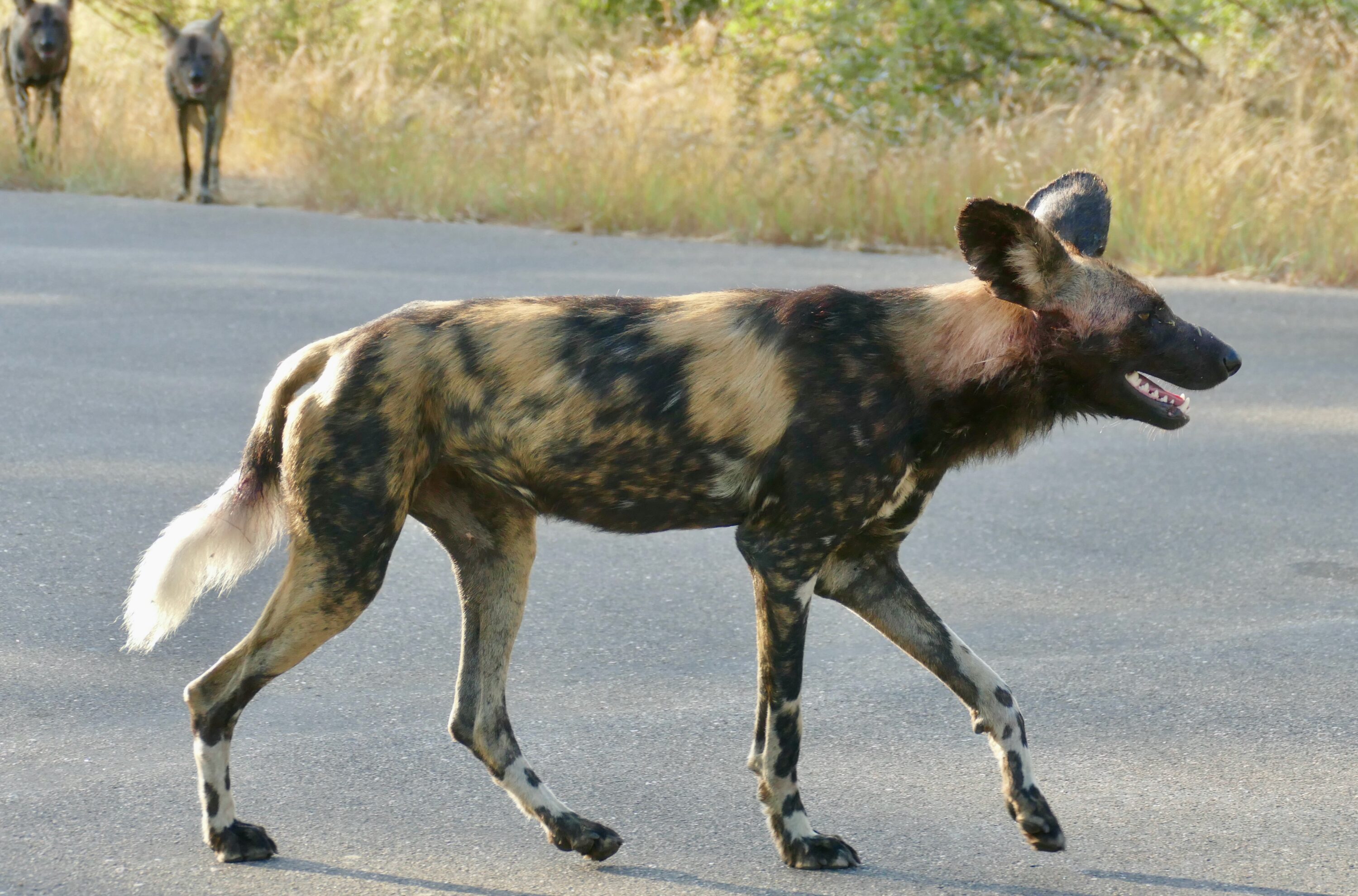
Gut Microbiomes Across Nine Kruger Mammals Clustered More Strongly by Dietary Group Than Species
A study of 89 quality-filtered faecal samples from nine wild mammals in Kruger National Park found that carnivores,…
Read story →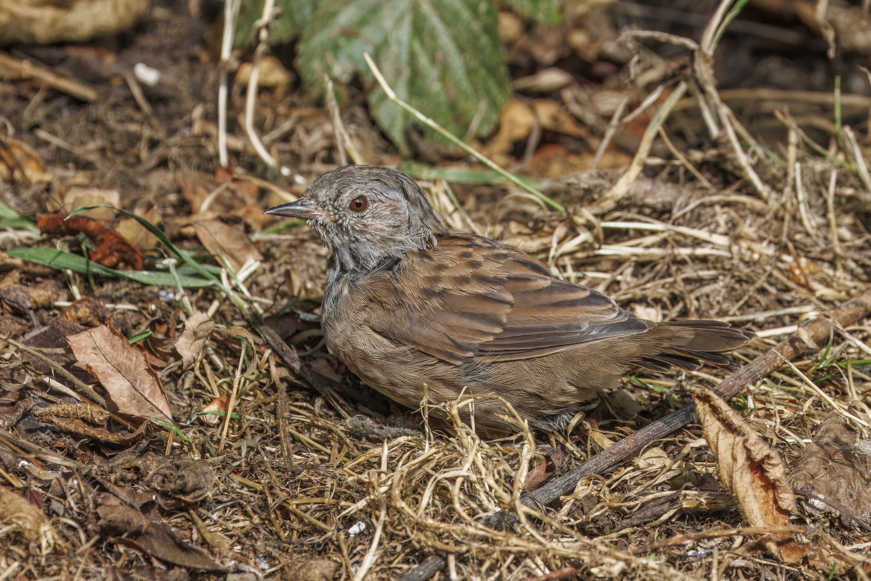
Dunnock Spring Passage Advanced by Up to 8.3 Days Over 61 Years at Hel
Standardised ringing data from northern Poland showed that the first, median and last phases of dunnock spring passage…
Read story →
Inland Mute Swans Had Higher Winter Body Condition Despite Harsher Winters and Supplemental Feeding
A study of 853 mute swans from four Polish wintering regions found higher body condition inland than on…
Read story →SPECIES IN THIS STORY
Species in this story
Independent research and conservation news archive
Did you find this information useful?
Wildlife Vagabond is independently built and maintained. Voluntary support helps cover source verification, hosting and continued work on research and conservation news.
Support Wildlife VagabondThe news archive will remain freely available.