
Models Mapped 1,571 km² of Rhesus Macaque Habitat and Conflict Hotspots in Pakistan’s Hindu Raj
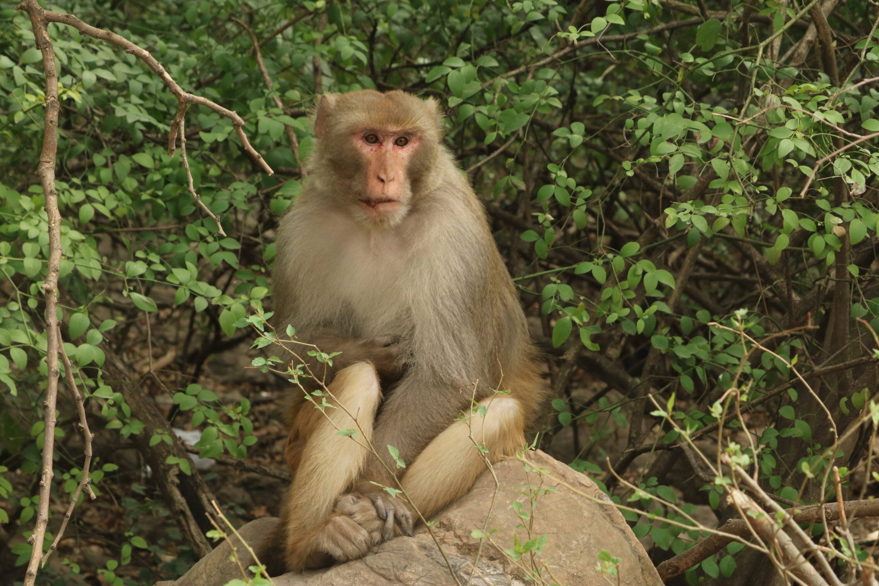
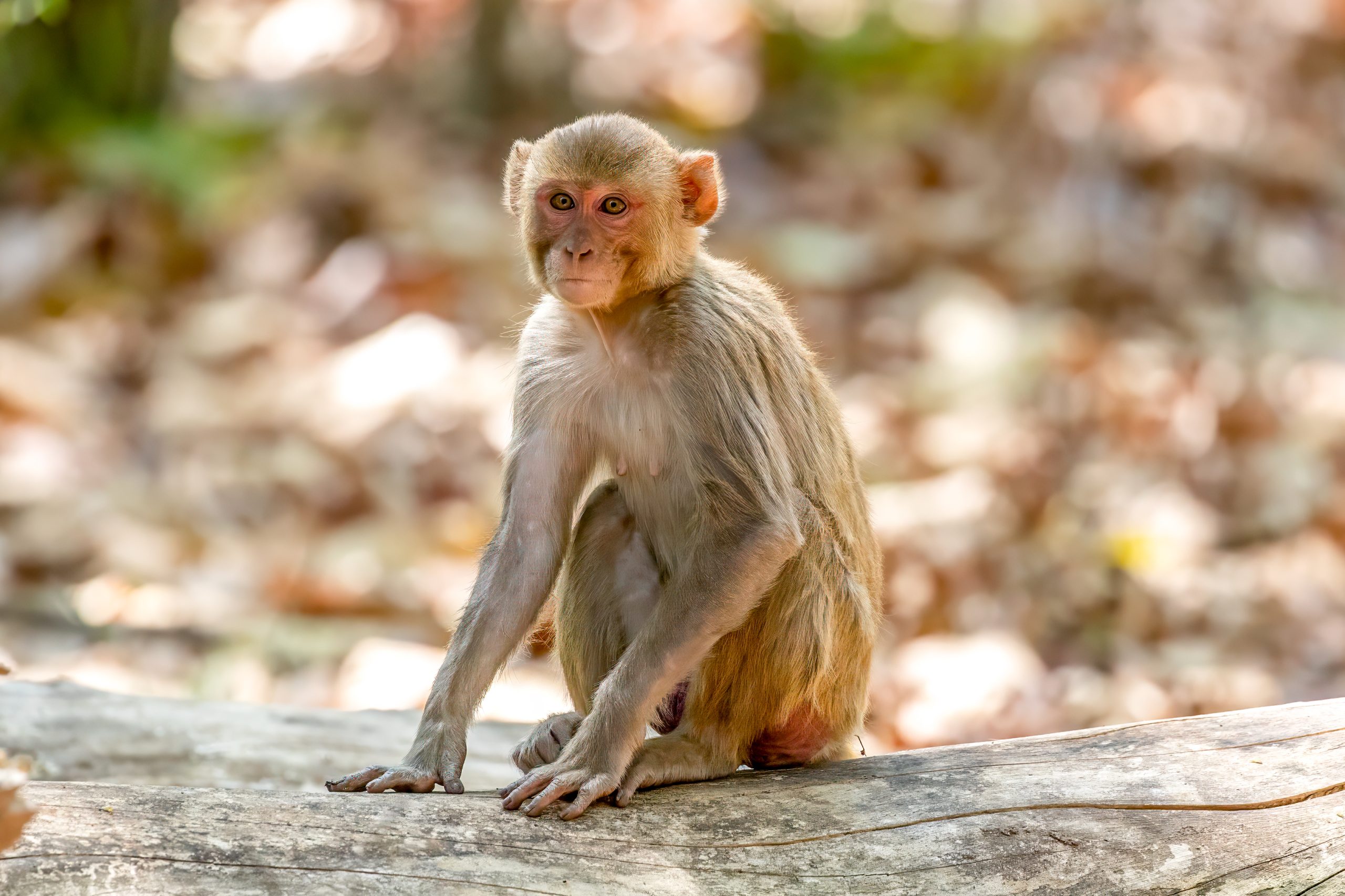
A spatial study in the Hindu Raj Mountains of Swat, Pakistan, mapped both suitable habitat for rhesus macaques (Macaca mulatta) and areas where that habitat overlaps with high human–macaque conflict risk. The habitat model identified 1,571 km² of suitable habitat, equivalent to 29.3% of the study area.
Suitable areas were concentrated mainly in mid-elevation forest–agriculture mosaics. Annual mean temperature, temperature range, precipitation during the driest month and forest cover were the strongest predictors of habitat suitability.
Conflict risk was highest where suitable macaque habitat overlapped with dense human presence. The largest proportions of conflict-prone area were mapped in Matta at 29.3%, Khwazakhela at 24.2% and Charbagh at 18.5%. Human modification and proximity to settlements were among the strongest predictors in the conflict model.
The authors use these spatial differences to identify where preventive measures could be prioritised. They recommend eco-friendly, non-lethal approaches and spatially targeted management aimed at reducing conflict while maintaining macaque habitat in the Hindu Raj landscape.
Human–wildlife conflict
Related news
Female Rhesus Macaques That Watched Unfamiliar Female Faces Longer Were More Likely to Have Offspring the Following Year
At a semi-free-ranging population in Puerto Rico, females that spent longer looking at an unfamiliar female’s neutral face…
Read story →
Human Activity and Large Wildlife Overlapped Most in Chitwan’s Buffer Zone
Camera traps across Chitwan National Park and surrounding forests showed the greatest overlap of human activity with large…
Read story →
Aging rhesus macaques show broader protein changes in blood than in brain fluid
A study of 66 rhesus macaques found age-related differences in many more measured proteins in plasma than in…
Read story →SPECIES IN THIS STORY
Species in this story
Independent research and conservation news archive
Did you find this information useful?
Wildlife Vagabond is independently built and maintained. Voluntary support helps cover source verification, hosting and continued work on research and conservation news.
Support Wildlife VagabondThe news archive will remain freely available.