
Human Activity and Large Wildlife Overlapped Most in Chitwan’s Buffer Zone
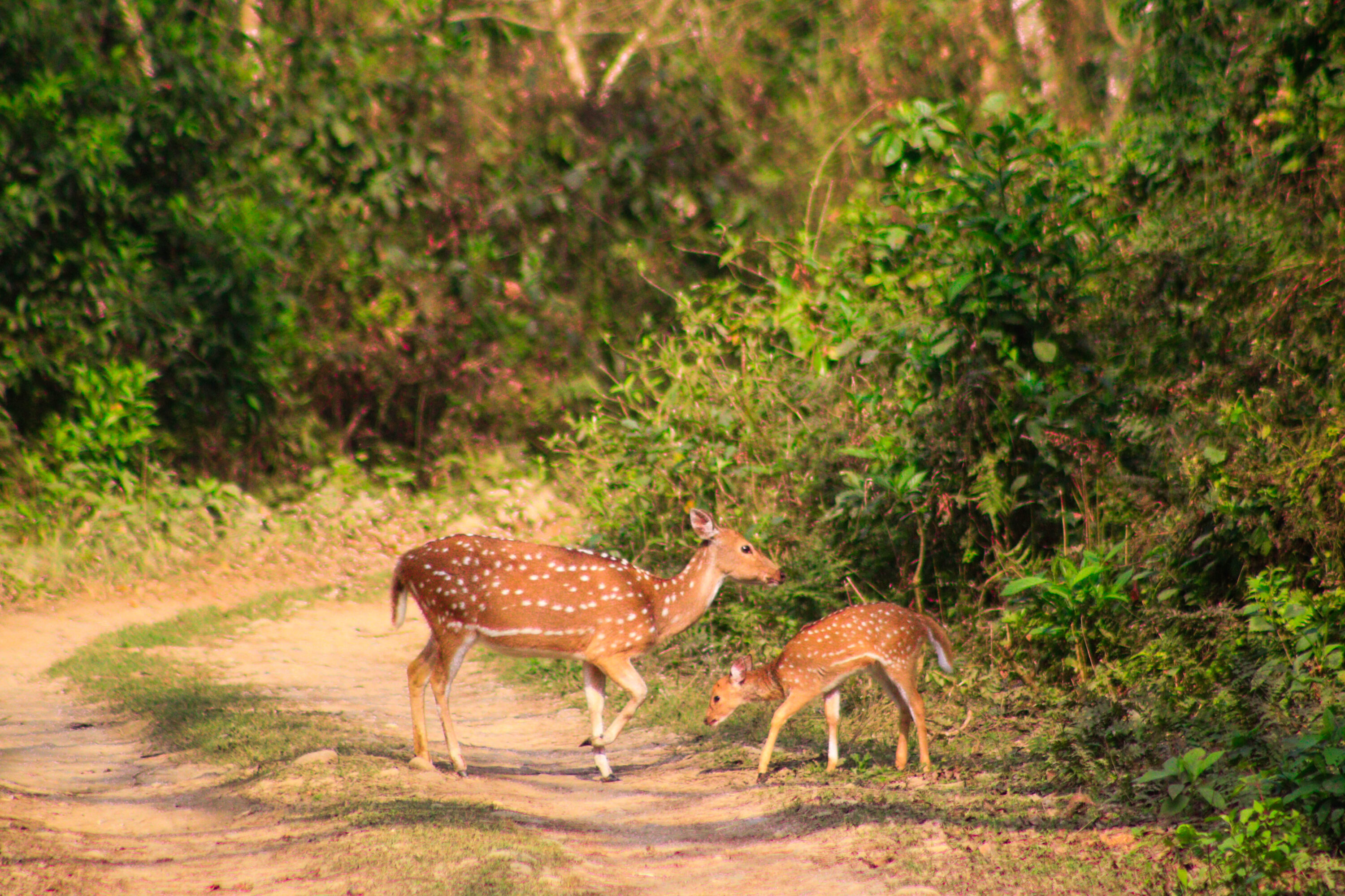
Camera traps around Chitwan National Park showed that wildlife and people overlapped most strongly in the Buffer Zone, where detections of humans and large wildlife were both concentrated in parts of the same landscape. A new study used 16,686 camera-trap images to map wildlife, people and domestic animals across the national park and three surrounding land-use zones.
The researchers deployed 80 cameras — 20 each in Chitwan National Park, the Buffer Zone, Corridor Forest and Community Forest — between February and July 2022. They trained deep-learning models to identify eight target classes and then used the detections to analyse where animals and people occurred and how close in time they appeared at the same camera sites.
Different species concentrated in different parts of the landscape
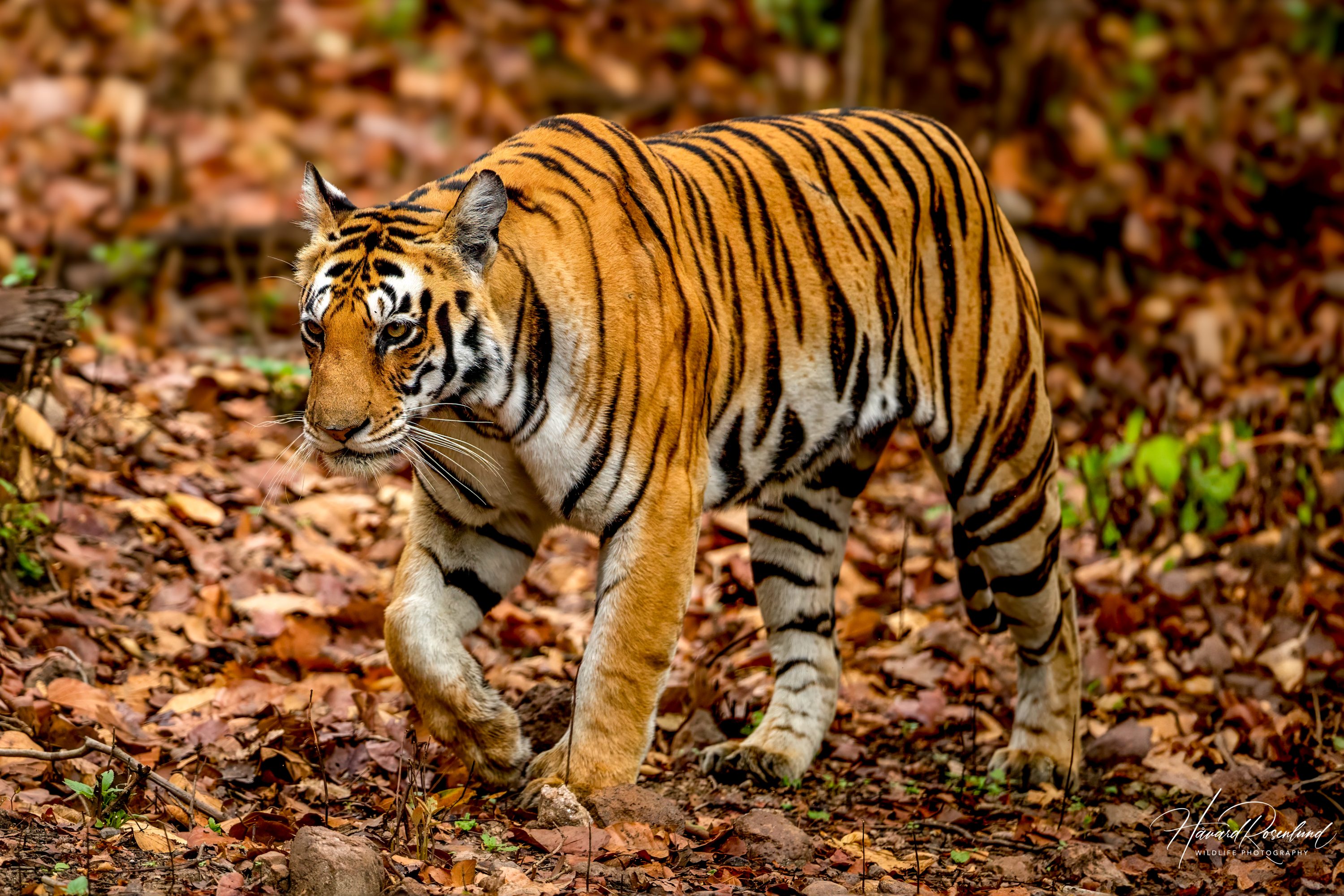
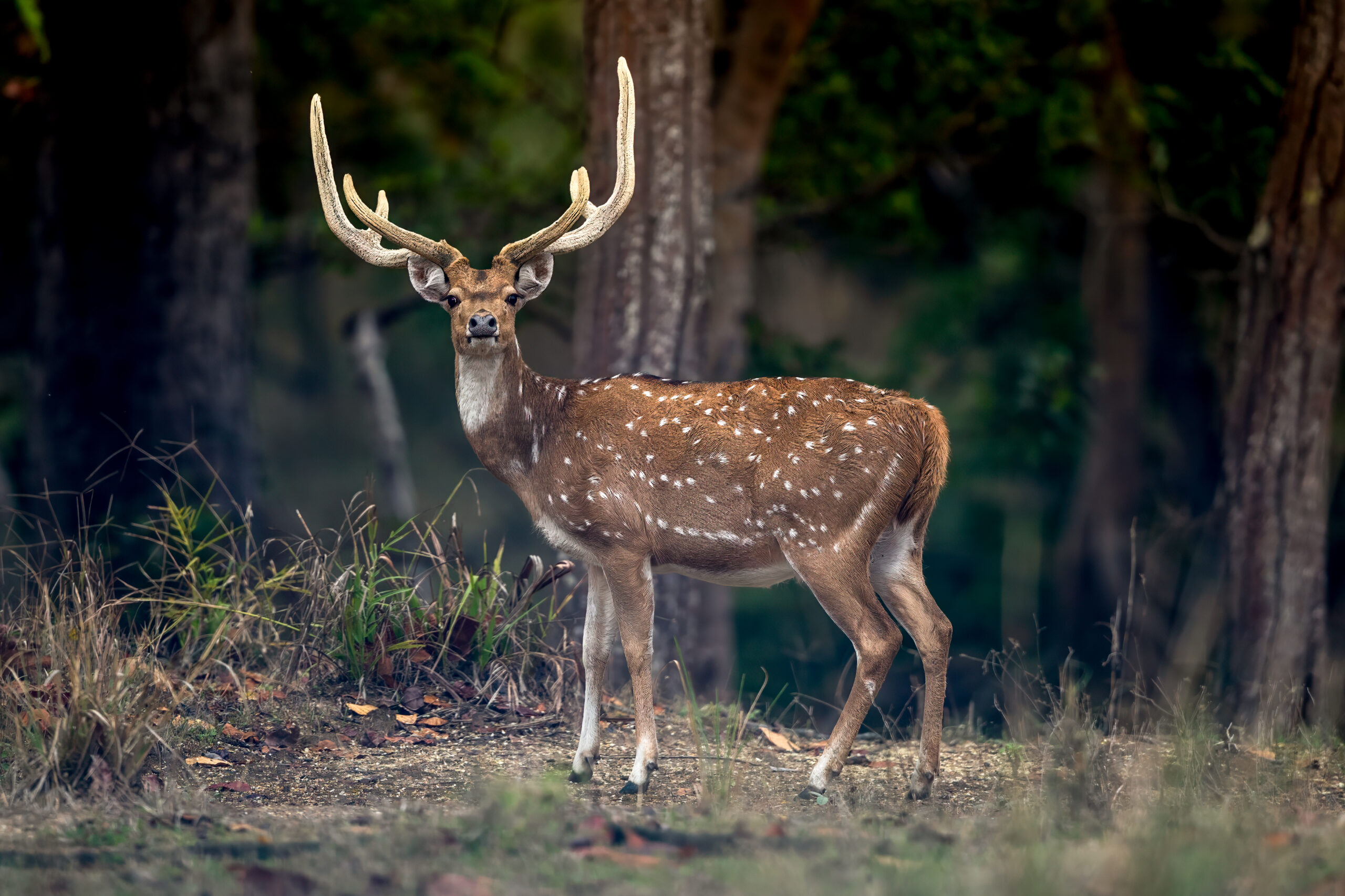
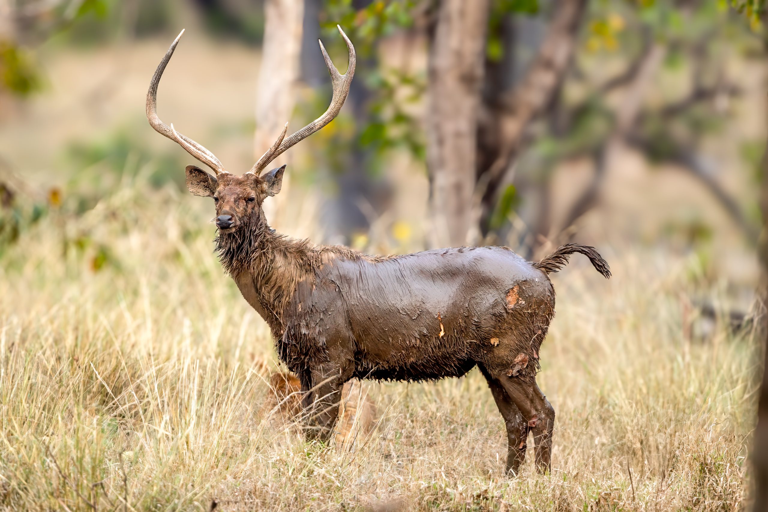
Deer, including chital (Axis axis) and sambar (Rusa unicolor), were the most frequently detected wildlife group and occurred at nearly all camera sites except those in the Community Forest. Their relative detection intensity was highest in the Buffer Zone. Tigers (Panthera tigris) were detected mainly inside the national park, with additional presence in the Buffer Zone.
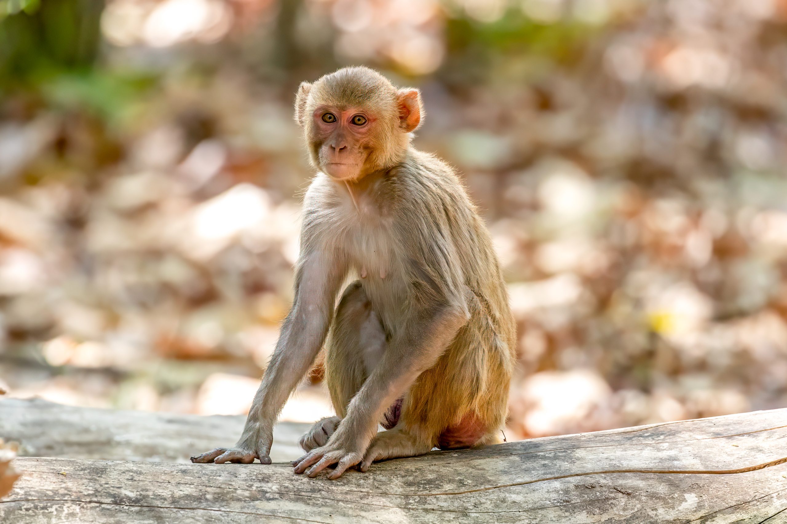
Rhesus macaques (Macaca mulatta) had a broader distribution. Their detections were concentrated especially in the Corridor Forest and northern Buffer Zone, with additional records in the Community Forest. Human activity, in turn, was strongest in the Corridor Forest, followed by the Community Forest and northern Buffer Zone.
The Buffer Zone had the highest spatial overlap
When the researchers combined the spatial surfaces for human activity and wildlife considered potentially dangerous to people, the strongest co-occurrence occurred in two regions of the Buffer Zone near the national-park boundary. Another high-overlap region lay near the southern boundary of the park, while a fourth was centred in the Corridor Forest and extended into the Buffer Zone.
The analysis describes overlap in camera detections, not direct encounters. A person and a tiger appearing at the same camera location hours or days apart therefore show shared use of the same place, but not necessarily that the two encountered one another.
Humans and tigers sometimes used the same sites close in time
Temporal analysis compared the shortest intervals between human detections and detections of tigers or rhinoceroses at the same camera locations. Human–wildlife pairs were temporally closest in the Buffer Zone, followed by the Corridor Forest and the national park.
For tigers, the distribution of time lags was broader than for rhinoceroses, but several camera sites still recorded people and tigers within short intervals. One illustrated Buffer Zone case showed local residents collecting vegetation and wood, followed by a tiger at the same camera site seven hours later. Another park site recorded people three days after a tiger had passed.
The resulting maps show how protected forest, buffer areas and human-used forests can differ sharply in who uses them and when. Around Chitwan, the Buffer Zone emerged as the main area where human activity and large wildlife were both concentrated in space and relatively close in time, making it particularly important for understanding human–wildlife interactions.
Human–wildlife conflict
Related news
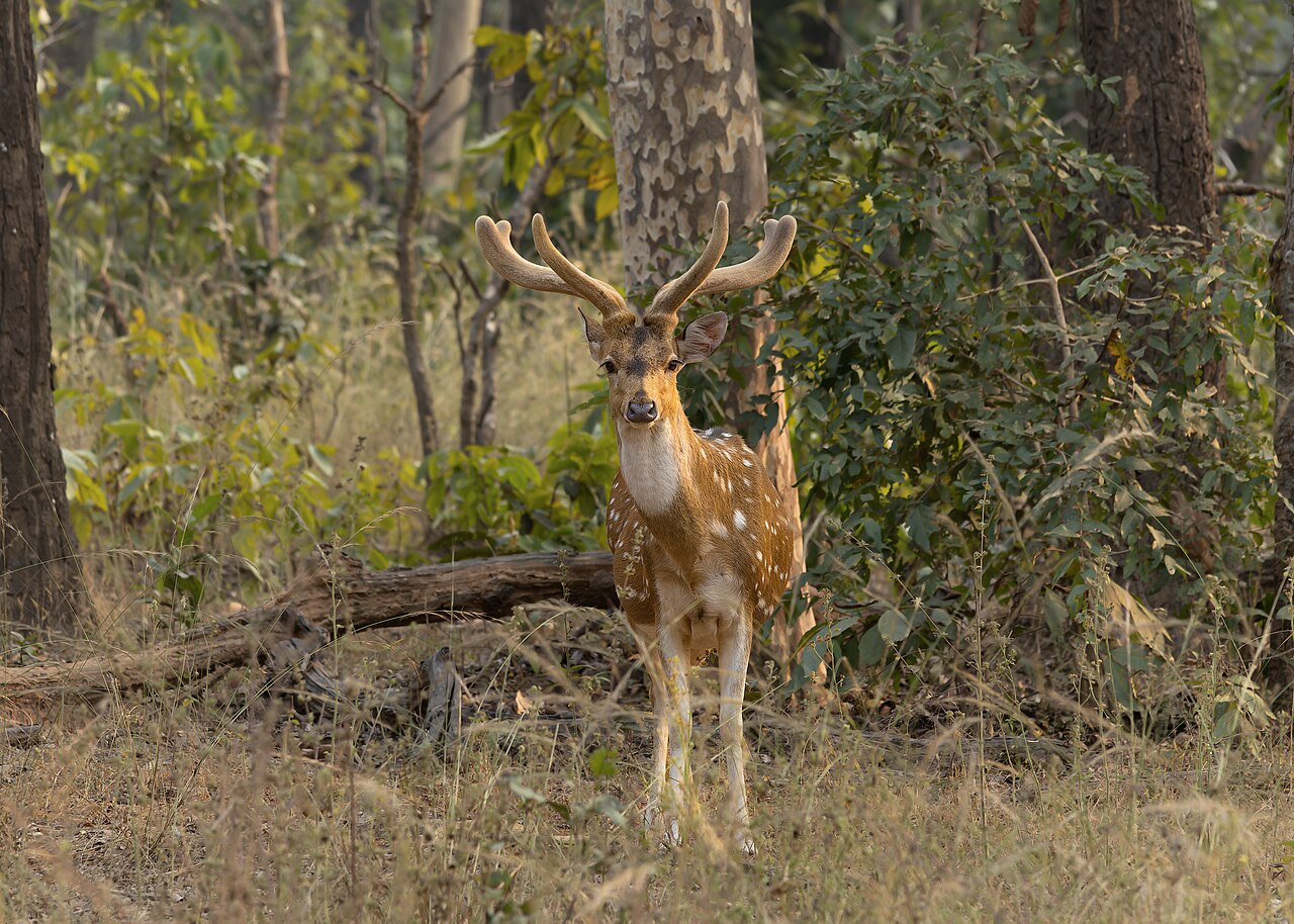
Chital, Sambar and Gaur Partitioned Food and Habitat Differently Across Seasons in Kanha
Direct foraging observations in Kanha National Park showed that chital, sambar and gaur divided food and habitat differently…
Read story →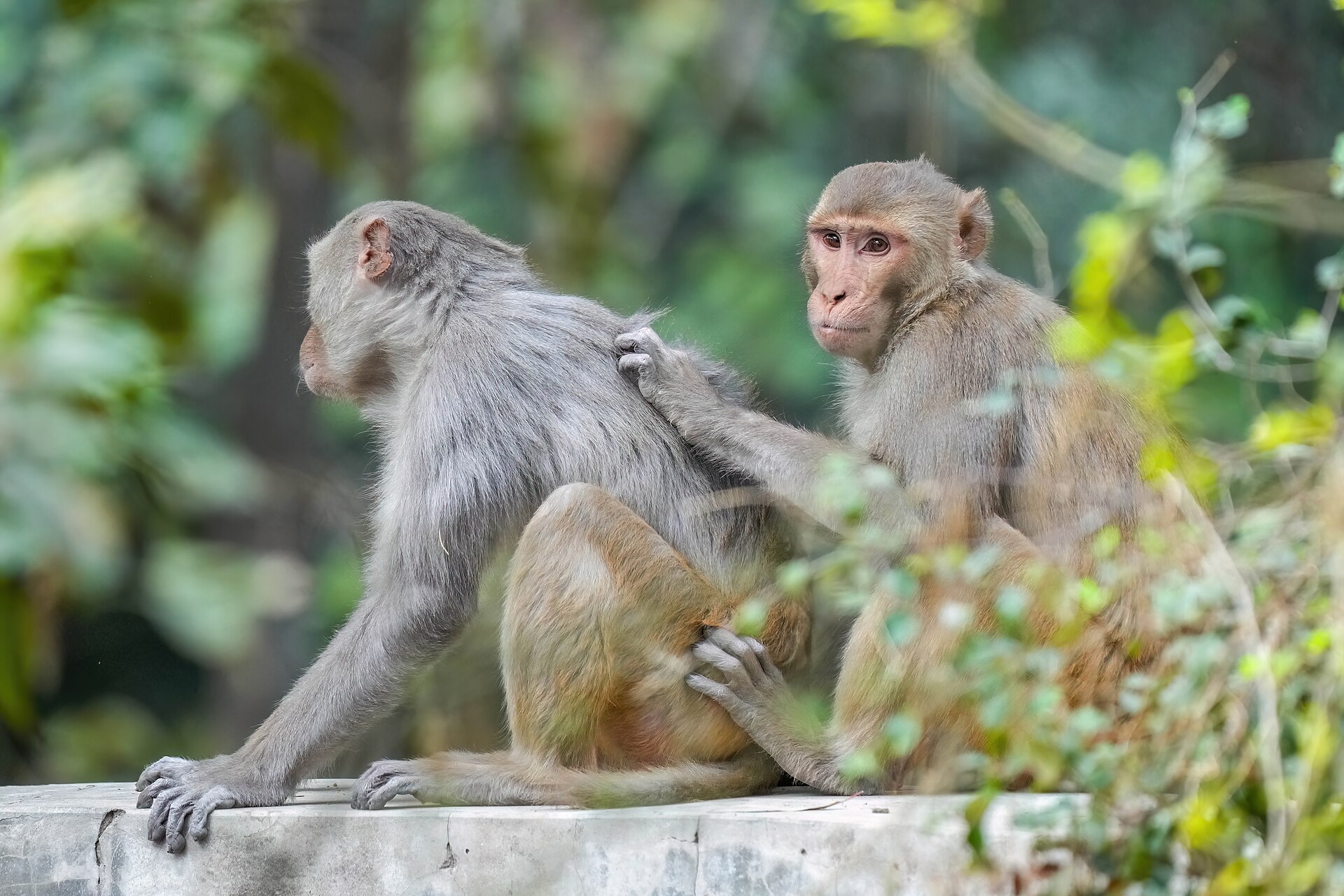
Rhesus Macaques Were More Accurate on Faster Choices After Accounting for Difficulty
In a two-choice task, rhesus macaques were more accurate on faster-response trials even after choice difficulty was taken…
Read story →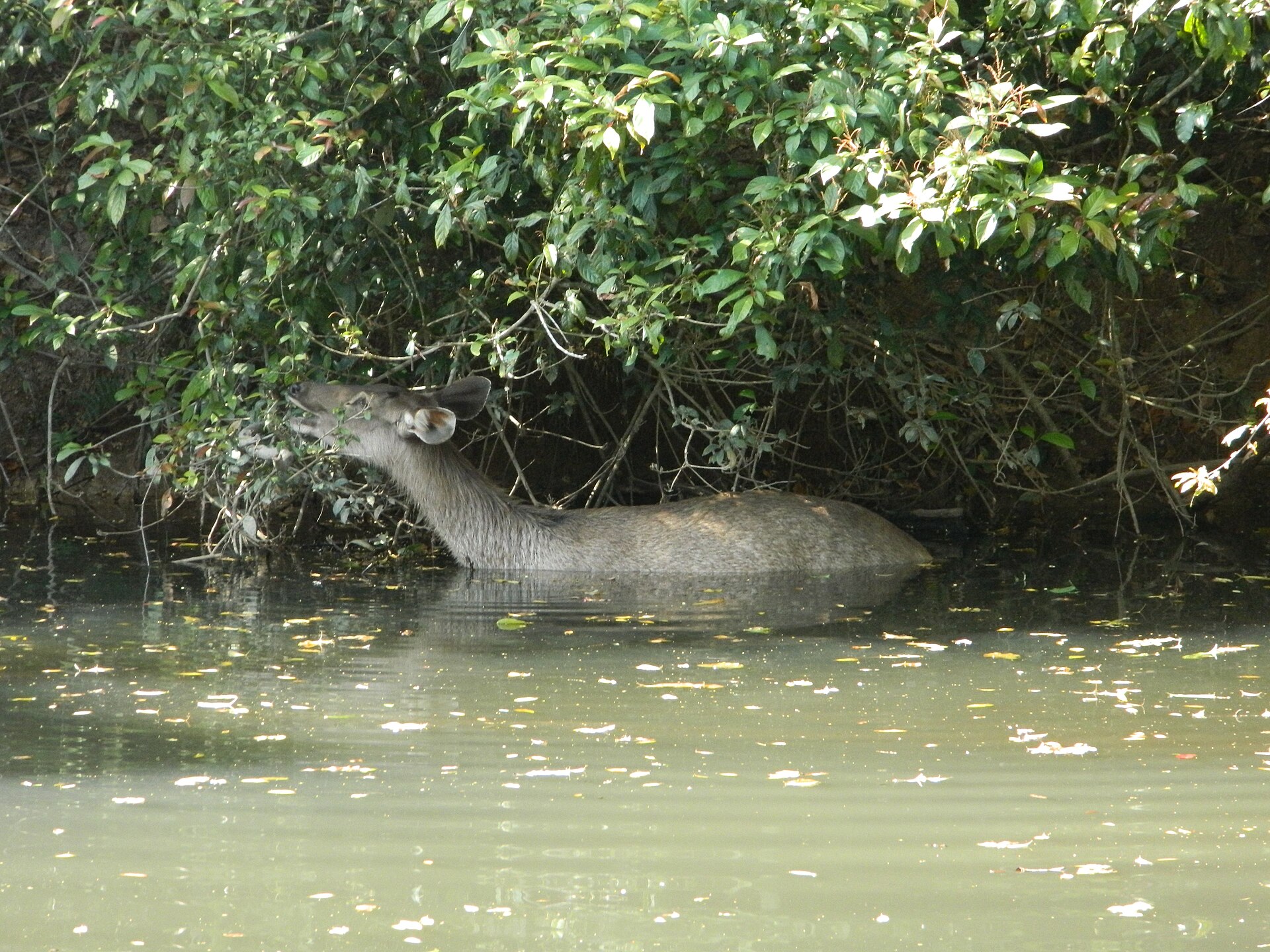
Fresh Sambar Droppings Matched Tissue for SNP Genotyping, but Outdoor Exposure Rapidly Degraded DNA
An Australian study developed a panel of 371 SNPs and three sex markers for sambar droppings. Fresh faeces…
Read story →SPECIES IN THIS STORY
Species in this story
Independent research and conservation news archive
Did you find this information useful?
Wildlife Vagabond is independently built and maintained. Voluntary support helps cover source verification, hosting and continued work on research and conservation news.
Support Wildlife VagabondThe news archive will remain freely available.