
New Model Mapped Feral Pigs More Widely Across Australia Than Earlier Maps
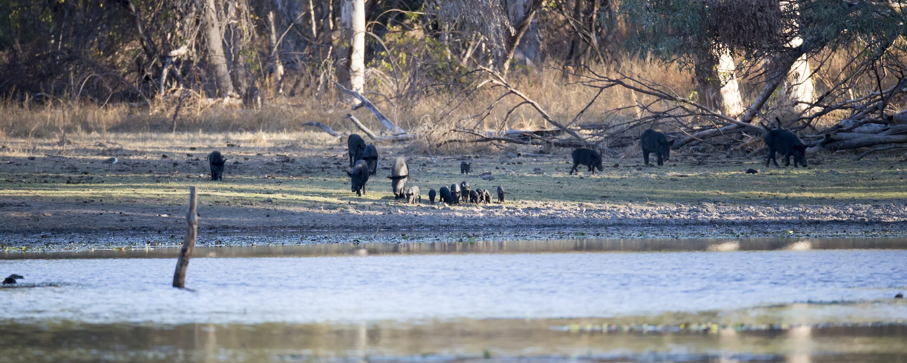
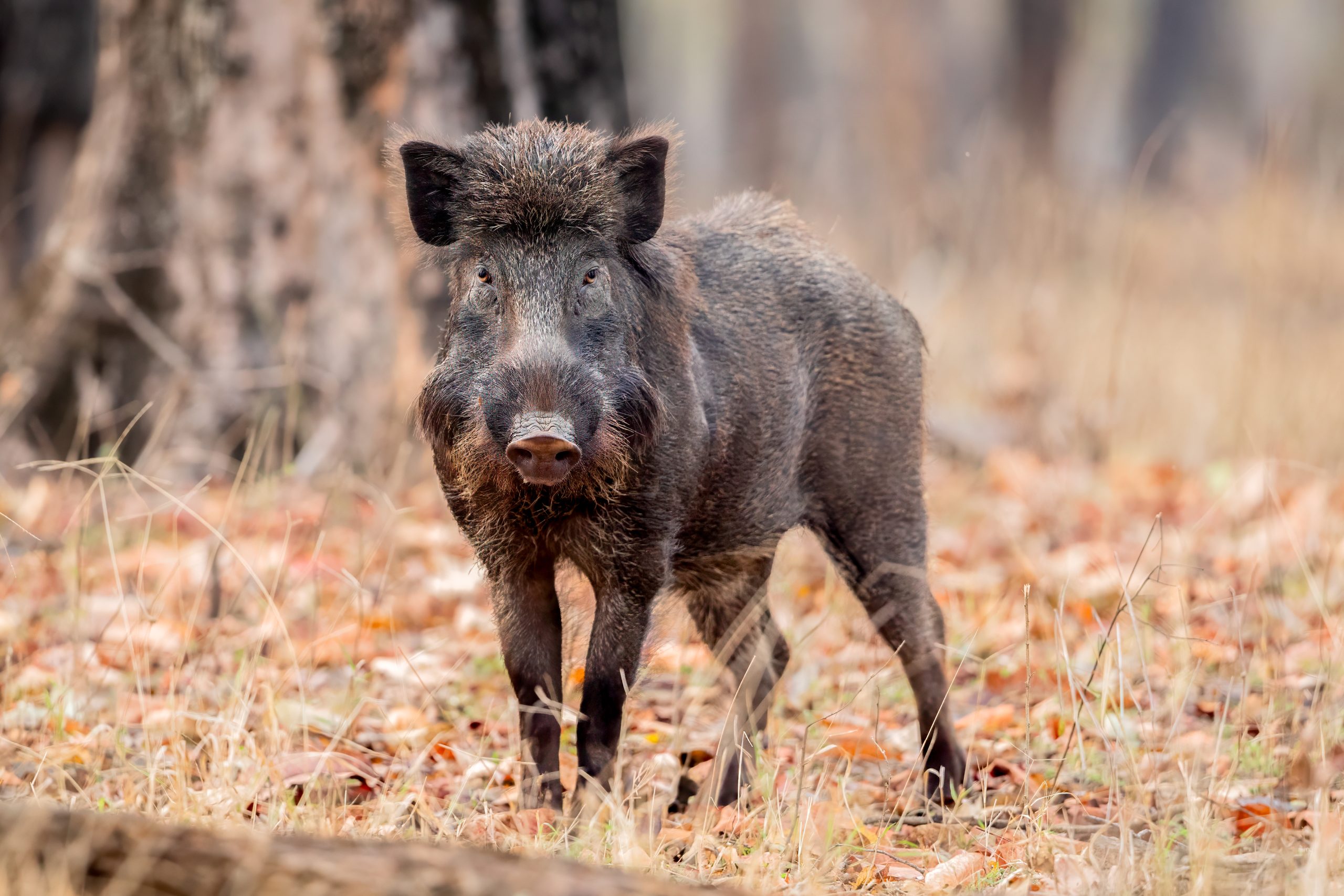
A new continental model mapped invasive feral pigs (Sus scrofa) across a larger part of mainland Australia than earlier broad distribution maps had suggested. In Australia these free-living populations belong to the same species as the wild boar. The 2026 study produced a contemporary estimate of relative abundance, showing where pigs were expected to be more or less common rather than estimating an exact number of animals per square kilometre.
Nearly 98,000 records were combined in one national model
The researchers integrated almost 98,000 records from 30 data sources. These included simple occurrence records, systematic surveys that recorded both presence and absence, and datasets containing information on relative abundance. Because the records had been collected by different agencies and monitoring programmes for different purposes, the model also accounted for uneven search effort.
This allowed fragmented information held across jurisdictions and institutions to contribute to one quantitative map instead of relying on older qualitative distribution outlines.
The larger mapped range does not by itself show recent expansion
The model predicted feral pigs to be widespread across much of northern Australia, along the east and in the southwest, while large parts of the arid interior had low predicted occurrence or were effectively absent. In several regions, the resulting contemporary footprint was broader than earlier maps had indicated.
This comparison does not show that pigs recently expanded into all of those newly mapped areas. The study combined contemporary records to improve the estimate of current distribution; it did not reconstruct a time series of range expansion. The result therefore shows that earlier maps underestimated or incompletely represented the present-day distribution in several parts of the continent.
The researchers tested the predictions against an independent presence–absence dataset. The model performed well in most evaluated regions, giving the authors confidence in the broad pattern, but predictions were less reliable in northern Australia than elsewhere. Northern Australia should therefore be interpreted with greater uncertainty even though the model predicts extensive occurrence there.
The authors argue that a quantitative national map can improve surveillance and management of one of Australia’s most damaging invasive mammals by showing where pigs are likely to be common and where distribution remains uncertain.
Ecology
Related news
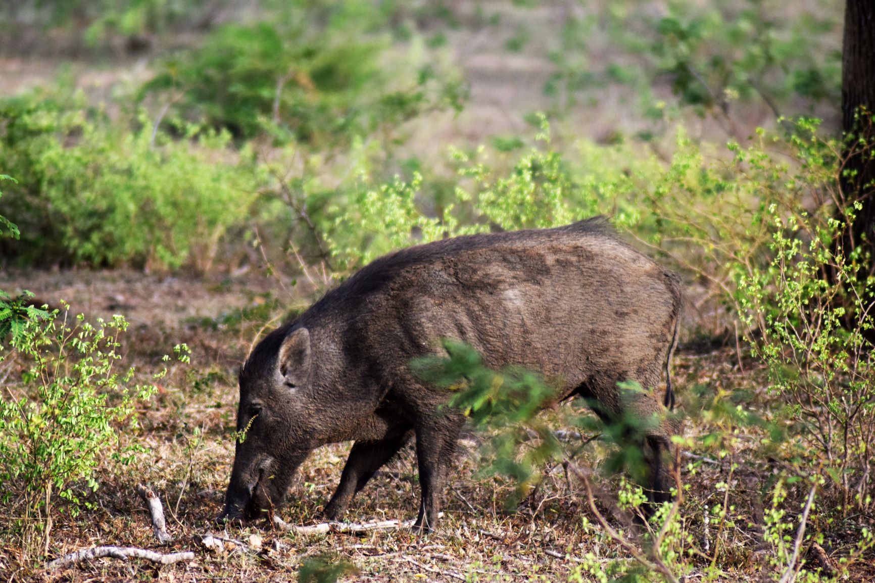
Maps Show Where Wild Boar Could Thrive and Spread on Jeju Island
Researchers mapped potentially suitable wild-boar habitat across roughly 36% of Jeju Island and identified eight possible corridors linking…
Read story →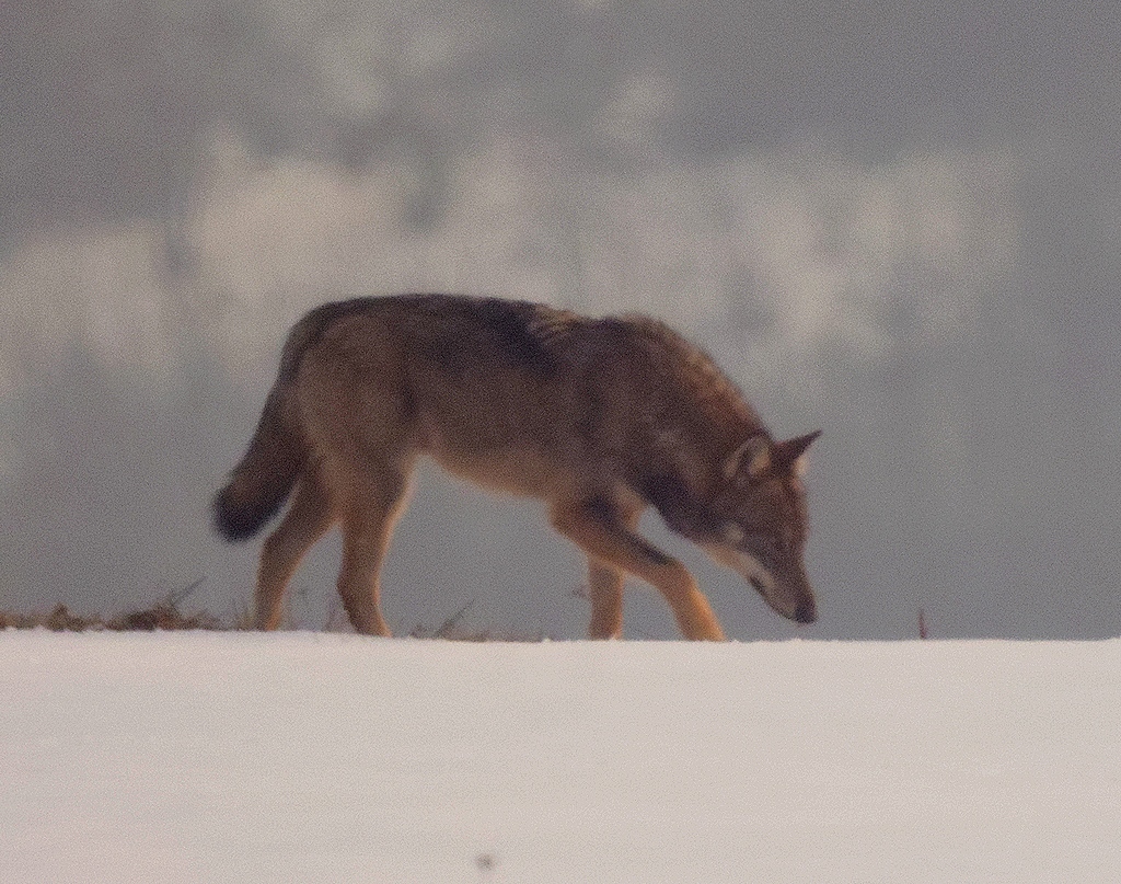
Roe Deer and Wild Boar Remained Key Wolf Prey as Diet Shifted Across North-western Italy
From 2021 to 2025, wolves in north-western Italy continued to feed mainly on wild prey. In the Po…
Read story →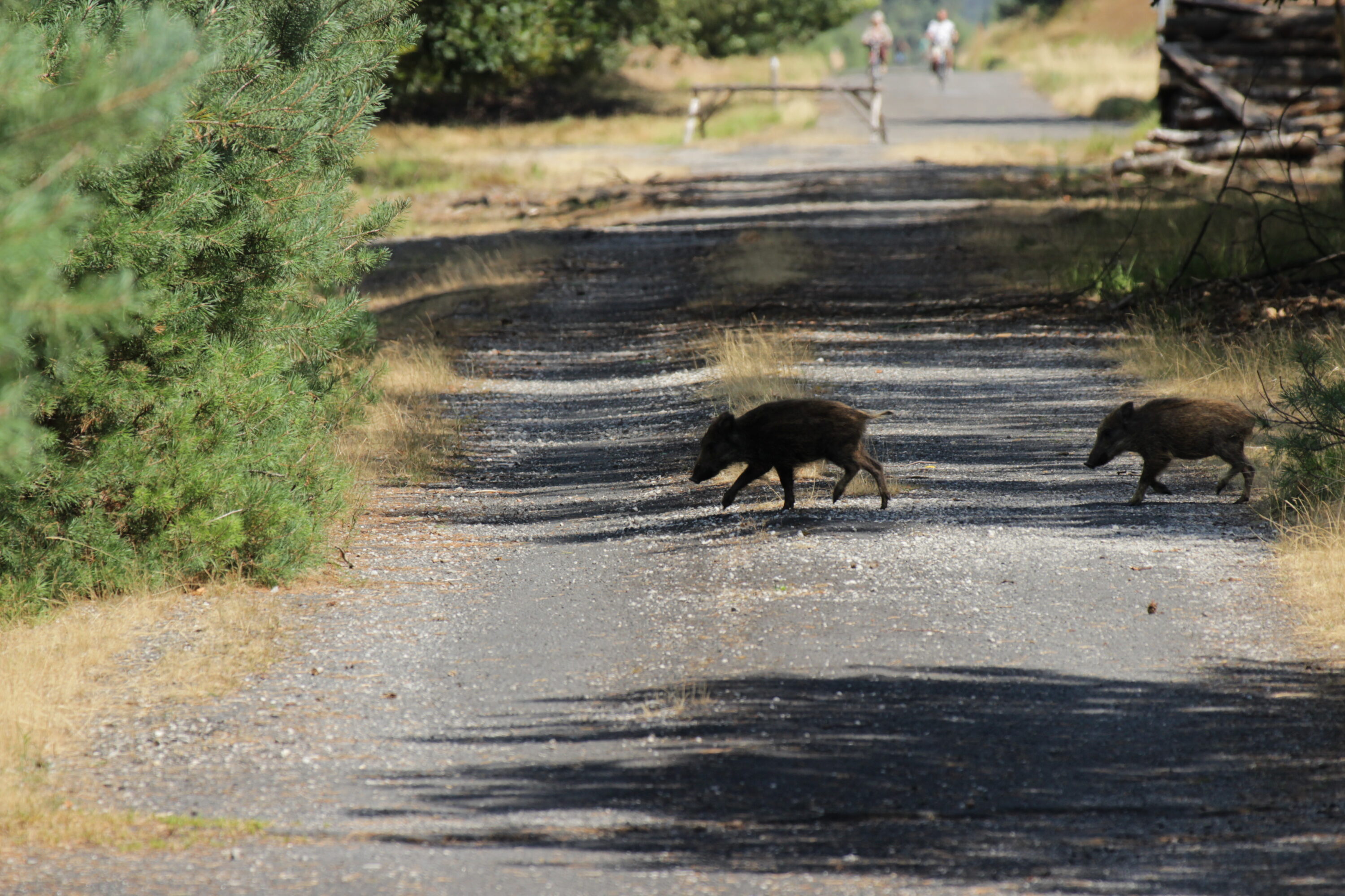
Copper levels in wild boar differed across Slovak districts
An analysis of kidney, liver and muscle from 147 wild boar in four districts found that iron and…
Read story →SPECIES IN THIS STORY
Species in this story
Independent research and conservation news archive
Did you find this information useful?
Wildlife Vagabond is independently built and maintained. Voluntary support helps cover source verification, hosting and continued work on research and conservation news.
Support Wildlife VagabondThe news archive will remain freely available.