
AI-assisted Eider Counting Cut Annotation Time by 87.5% in Arctic Aerial Surveys
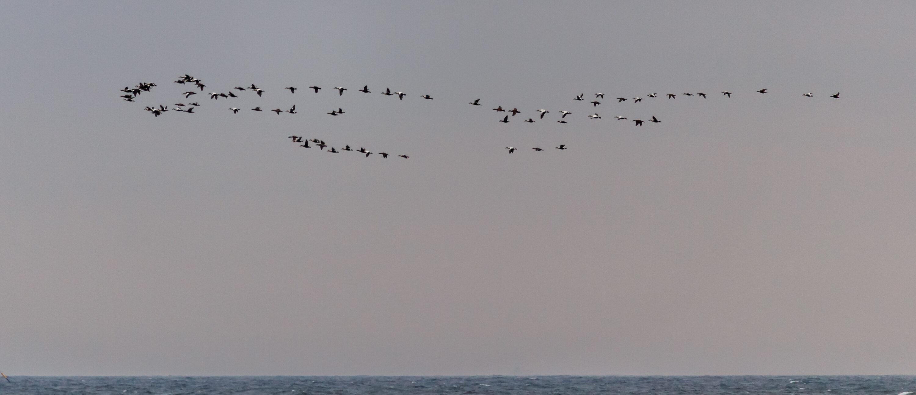
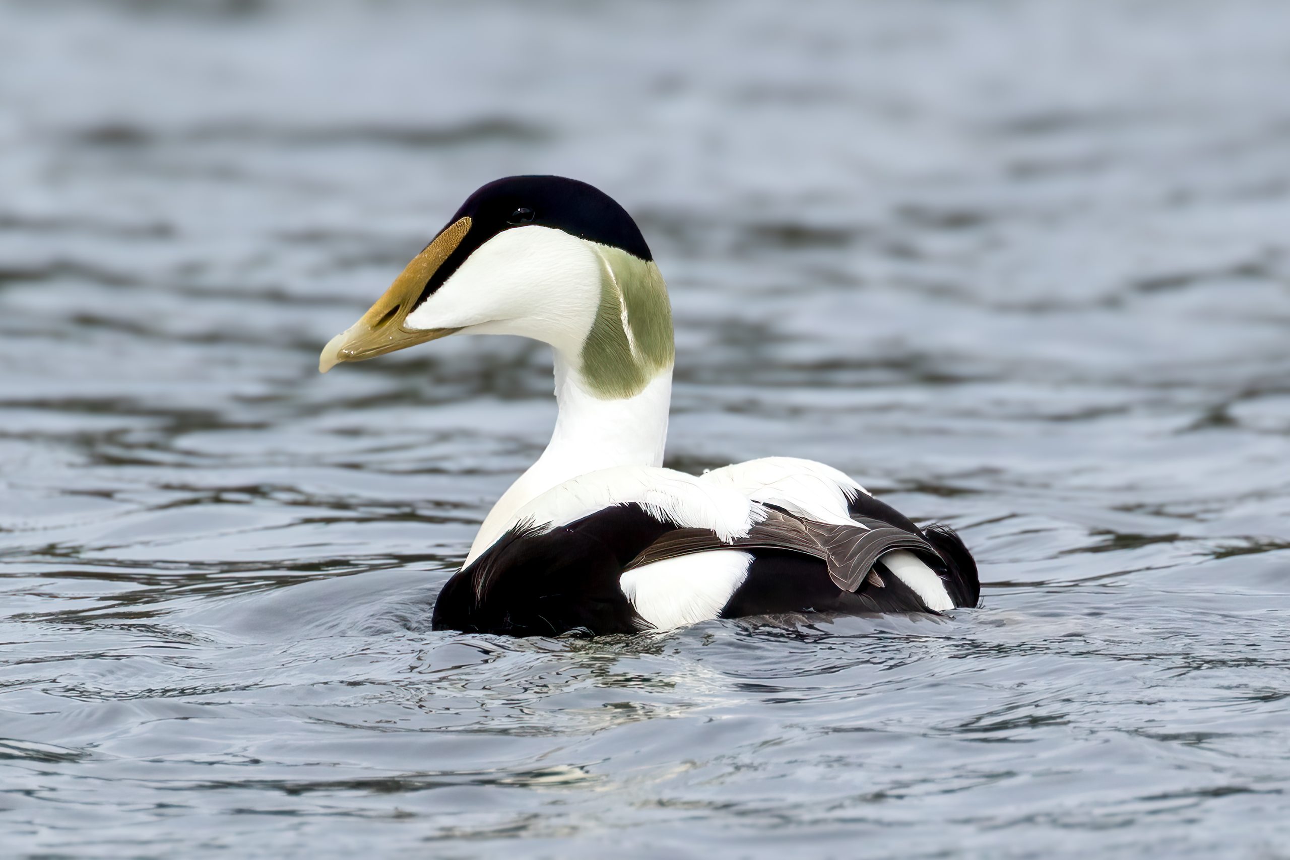
An AI-assisted workflow for counting common eiders (Somateria mollissima) in aerial photographs reduced the time needed to annotate a full survey image by 87.5% compared with fully manual labeling, according to research first published in the AAAI conference proceedings on 14 March 2026. The system combines automated detections with human review so that experts correct the model rather than mark every bird from scratch.
The work used a collection of 750 high-resolution aerial images of eider aggregations from the Belcher Islands in Arctic Canada, taken in 2002, 2008 and 2021. Male and female eiders can be distinguished by plumage, but individuals may occupy only around 10 × 10 pixels in the photographs and can occur in dense groups, making manual demographic counts extremely time-consuming.
Human review remained part of the counting process
The researchers built the workflow around the OpenWildlife object-detection model and a human-in-the-loop system. Six fully annotated images, containing 8,339 individual ducks, were used to adapt the model. Users then reviewed model predictions in a modified LabelStudio interface, correcting local regions and feeding those corrections back into the system.
For evaluation, the team used 10 separate aerial images containing approximately 35,000 individually annotated eiders. The refined model itself reached a recall of 77.6%, a precision of about 66.0% and a counting error of 22.2% on this test set, which is why human validation remained part of the workflow. The 87.5% time reduction came from a small user study with five participants: average annotation time fell from 117.1 minutes per image with manual labeling to 14.7 minutes when participants started from model predictions and corrected them as needed.
The system has been deployed for eider monitoring
The workflow was developed in collaboration with the Arctic Eider Society and has been deployed for use in its survey work. The system can also distinguish males from females, providing demographic information in addition to total counts. The researchers designed the tools specifically for large aerial images and dense aggregations, with functions for image slicing, confidence filtering and regional corrections.
Other research
Related news
Colour-Banded Eider Linked Nunavut and Iceland More Than 2,800 Kilometres Apart
A male northern common eider banded on East Bay Island, Nunavut, in 2023 was filmed in western Iceland…
Read story →
Only About Half of American Common Eider Females Were Estimated to Breed in a Given Year
Satellite tracking of 123 females across Maine and eastern Canada estimated overall breeding propensity at 53%, while regional…
Read story →
Higher PFOS Was Linked to Lower Egg Temperatures in Finnish Common Eiders
Researchers studied 18 female common goldeneyes and 37 female common eiders in Finland. Higher PFOS was linked to…
Read story →SPECIES IN THIS STORY
Species in this story
Independent research and conservation news archive
Did you find this information useful?
Wildlife Vagabond is independently built and maintained. Voluntary support helps cover source verification, hosting and continued work on research and conservation news.
Support Wildlife VagabondThe news archive will remain freely available.