
Invasive Plants and Water Helped Shape Elephant Habitat Use in a Fenced Kenyan Reserve
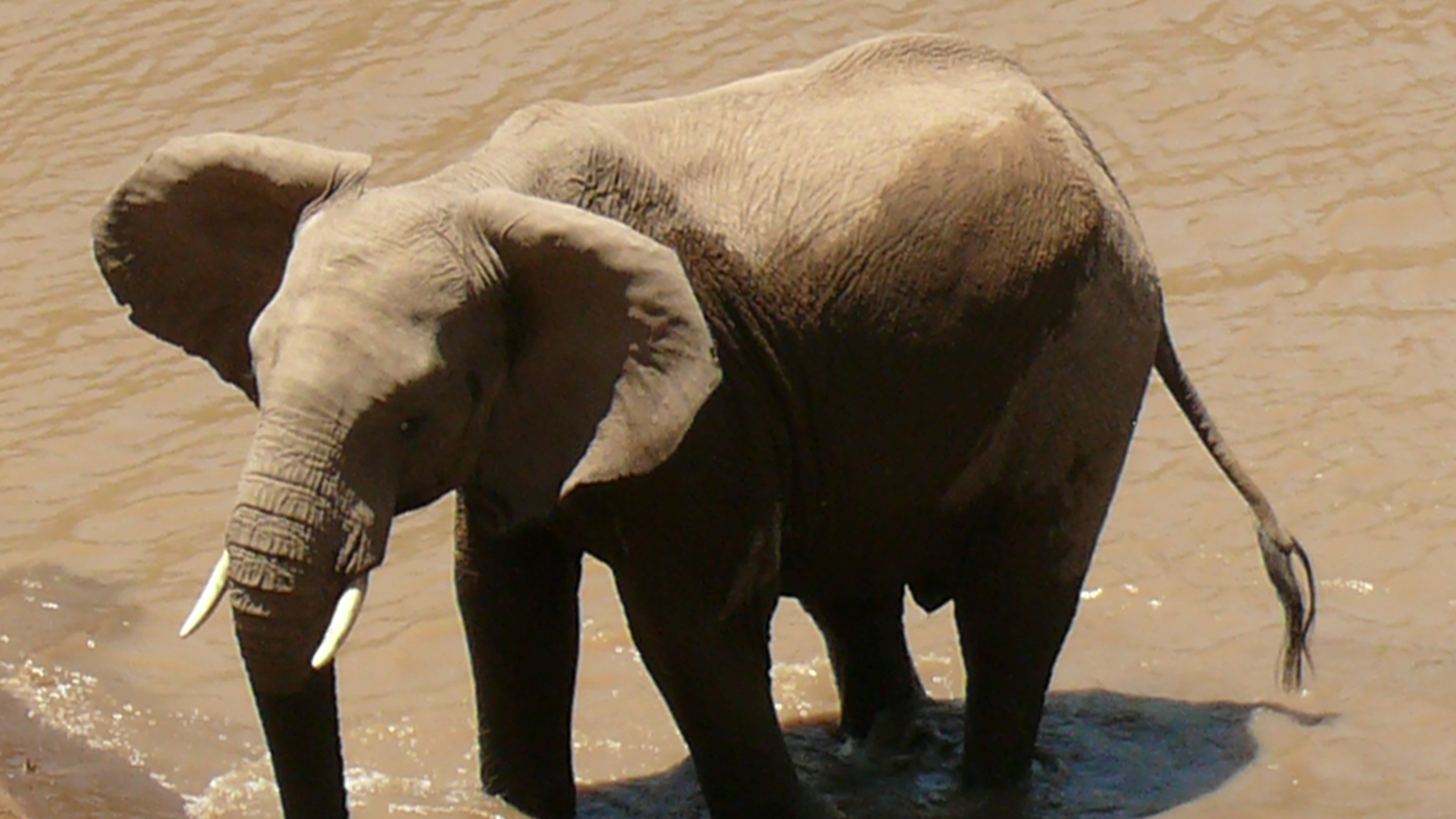
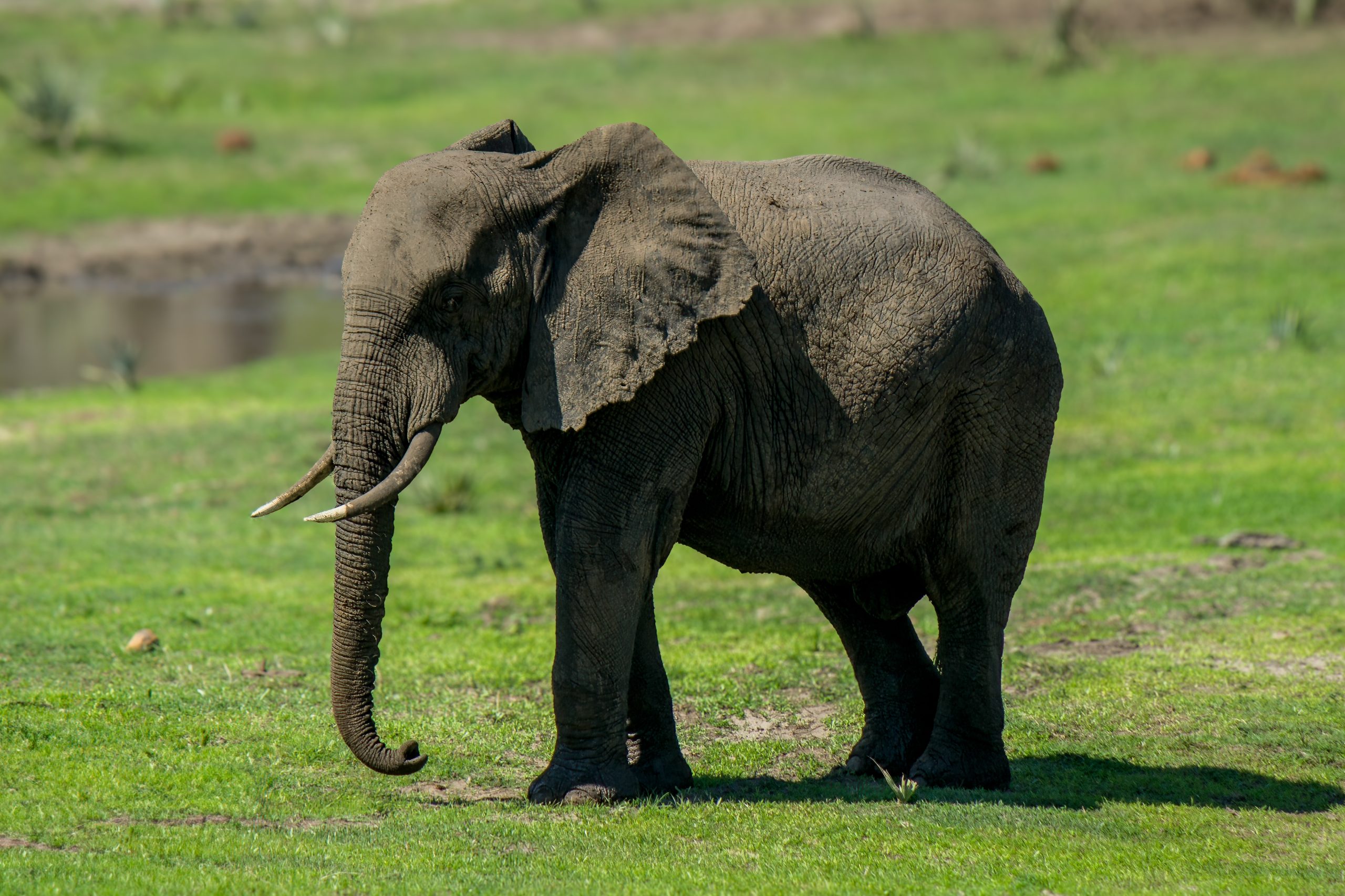
Researchers used the distribution of dung to examine seasonal habitat use by the African bush elephant (Loxodonta africana) in a small, enclosed Kenyan reserve. The study, published on 29 April 2026, linked dry-season patterns most strongly to the distribution of invasive plants, distance from permanent rivers and elevation. During the wet season, distance from the reserve boundary was the largest contributor to the model.
Mwea National Reserve covers 44 square kilometres in Embu County. An artificial fence forms one boundary, while the permanent Thiba and Tana rivers form others. The reserve has no migration corridors, so its growing elephant population must find seasonal food and water within a restricted area.
The field team surveyed 96 straight transects, each 250 metres long, with approximately 350-metre reconnaissance walks between them. Every dung pile seen along these routes was mapped and assigned to an age class. The combined dataset contained 2,540 dung locations from the dry season, July to October, and 1,345 from the wet season, November to January. The analysis excluded the oldest categories and used more recent dung as an indicator of where elephants had been.
The researchers modelled these locations against five variables: distance from the reserve boundary, elevation, invasive-plant distribution, distance from permanent rivers and the Normalized Difference Vegetation Index, or NDVI, a satellite-based measure of vegetation greenness. Higher NDVI values indicate greener, more productive vegetation and were used here as an indicator of forage conditions. The authors described both seasonal models as having fair predictive performance.
Seasonal drivers changed between dry and wet seasons
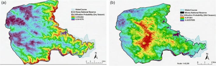
In the dry-season model, invasive-plant distribution contributed 28.9% of the prediction, distance from permanent rivers 26.9% and elevation 26.5%. NDVI contributed 16.2%, while boundary distance contributed 1.4%. The order changed in the wet season: boundary distance contributed 38.9%, followed by NDVI at 20.1%, invasive plants at 16.3%, elevation at 13.2% and river distance at 11.6%. These percentages describe how much each predictor contributed to the model, rather than the proportion of elephants using each habitat.
The mapped patterns placed more dry-season use near rivers and productive riparian vegetation. With rain and more widely available forage, the predicted wet-season range expanded towards central and higher parts of the reserve. The stronger boundary signal during the wet season was interpreted as evidence that physical barriers still constrained wider dispersal when water and food were less limiting.
Invasive plants overlapped with useful resources
Three invasive plants considered in the study were Parthenium hysterophorus, Senna didymobotrya and Senna spectabilis. Their patches overlapped with riverine sites that also provided water, shade and native forage. The authors stress that the elephants did not show a preference for invaded areas. Instead, invasive plants and useful resources occurred in some of the same places. The invasive species were not yet widespread, but could reduce native forage if they expand.
Management should protect dry-season resources
The researchers recommend protecting key dry-season water and feeding areas, maintaining varied vegetation and targeting invasive plants at important foraging sites. They also propose continued community cooperation, maintenance of the reserve boundary and periodic translocation to keep pressure within the small reserve manageable.
Ecology
Related news
Inland Mute Swans Had Higher Winter Body Condition Despite Harsher Winters and Supplemental Feeding
A study of 853 mute swans from four Polish wintering regions found higher body condition inland than on…
Read story →
Gut Microbiomes Across Nine Kruger Mammals Clustered More Strongly by Dietary Group Than Species
A study of 89 quality-filtered faecal samples from nine wild mammals in Kruger National Park found that carnivores,…
Read story →
Dunnock Spring Passage Advanced by Up to 8.3 Days Over 61 Years at Hel
Standardised ringing data from northern Poland showed that the first, median and last phases of dunnock spring passage…
Read story →SPECIES IN THIS STORY
Species in this story
Independent research and conservation news archive
Did you find this information useful?
Wildlife Vagabond is independently built and maintained. Voluntary support helps cover source verification, hosting and continued work on research and conservation news.
Support Wildlife VagabondThe news archive will remain freely available.