
Satellite Image Revealed Fewer Elephants Than Aerial Count in Botswana
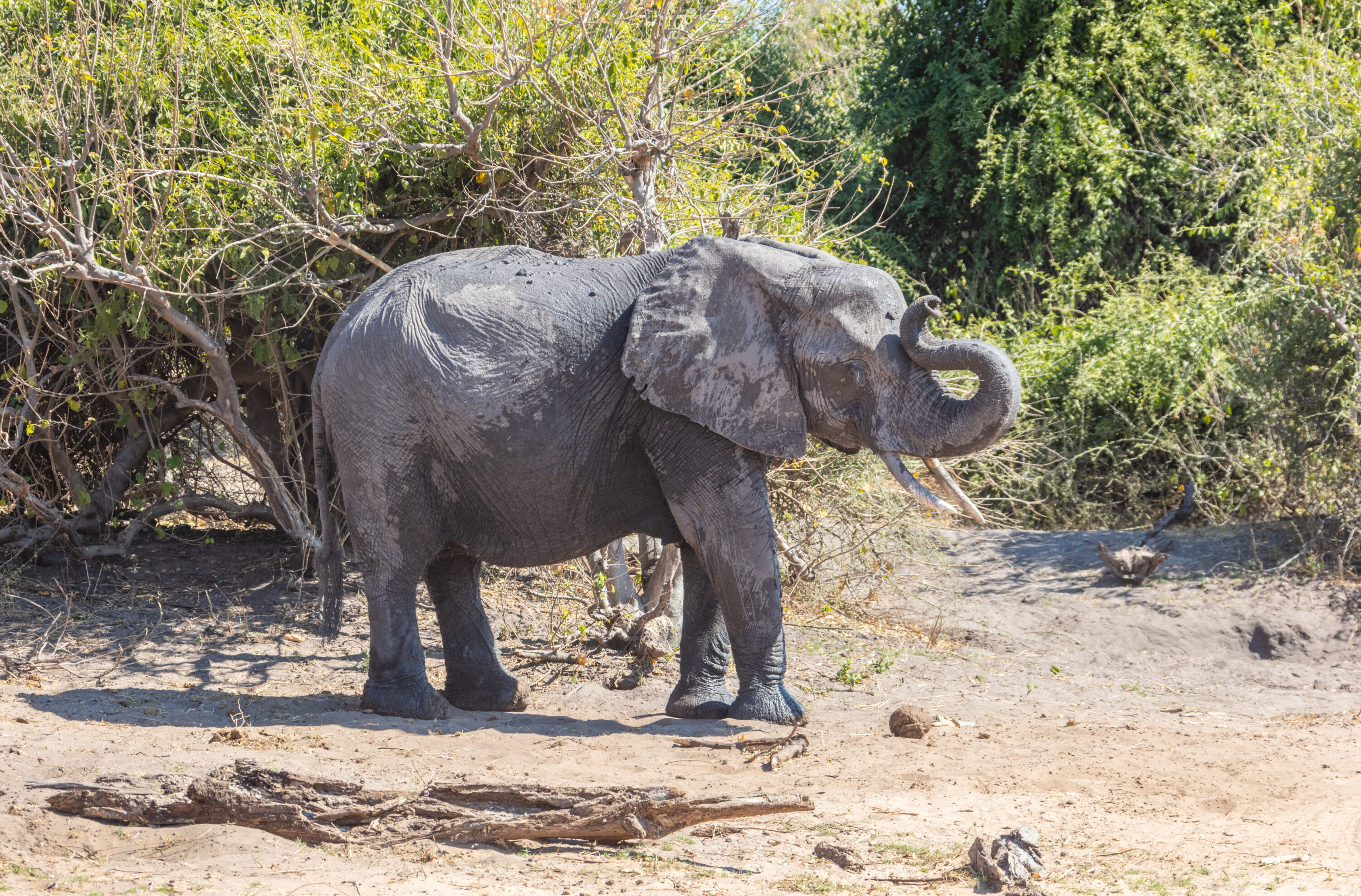
Satellite images make it possible to count African bush elephants (Loxodonta africana) across large areas without sending an aircraft over every population. A study in Botswana shows both the opportunity and the challenge: researchers identified 688 visible elephants in a satellite image, while observers in an aircraft counted 816 in the same area.
Aerial surveys take considerable planning and resources. Satellites could provide more frequent information about where the animals are, helping conservation managers spot changes sooner. First, however, researchers need to account for elephants the images do not show.
Even open landscapes hide elephants
The comparison took place near Ngwasha, south-east of Chobe National Park, on 6 October 2022. The satellite image and aerial survey were coordinated across an area of 140 km². Image resolution was 30 centimetres, meaning each pixel represented roughly 30 × 30 centimetres on the ground. The satellite image showed 128 fewer elephants, a difference of 15.7%.
Bushes, branches and shadows can make animals difficult to see from above, even in landscapes considered open. Researchers estimated that vegetation obscured about 26% of the area. If elephants were as densely distributed there as on visible ground, the 688 visible animals would imply a total of around 929 elephants.
That was too high compared with the aerial count. Elephants are not evenly spread across the landscape, and their use of tree cover can depend on factors including temperature, time of day and access to water. Knowing how much ground is hidden is therefore not enough.
AI must distinguish animals from their surroundings
The researchers also explored whether artificial intelligence could find the elephants automatically. Images containing 813 elephant examples were divided between training and testing. The system performed worse on a separate satellite image that had not been used in training than in the initial tests.
Tight groups and vegetation made elephants harder to detect, while rocks could be mistaken for small elephants. Automated counts therefore need to account for both missed animals and objects incorrectly counted as animals.
For now, the researchers see satellite images as most useful alongside aerial surveys. Combining the two could provide more frequent information about population changes and where elephants gather, while aerial counts continue to provide an important reference.
Other research
Related news
An ancient viral gene may have been repurposed in elephant placenta
An ancient viral gene that appears to have been inherited for at least 79 million years is strongly…
Read story →
Three Ways of Analysing Elephant Calls Gave Different Results
Recordings from a semi-free herd in South Africa show how the method used to classify call timing can…
Read story →
African Bush Elephants Distinguished Artificial Food-Quantity Patterns at Close Range
In experiments in South Africa, four semi-tame elephants chose between visual patterns representing canopy size and leaf density.…
Read story →SPECIES IN THIS STORY
Species in this story
Independent research and conservation news archive
Did you find this information useful?
Wildlife Vagabond is independently built and maintained. Voluntary support helps cover source verification, hosting and continued work on research and conservation news.
Support Wildlife VagabondThe news archive will remain freely available.