
Thermal Drones Found Nearly All Moose in Favourable Winter Weather
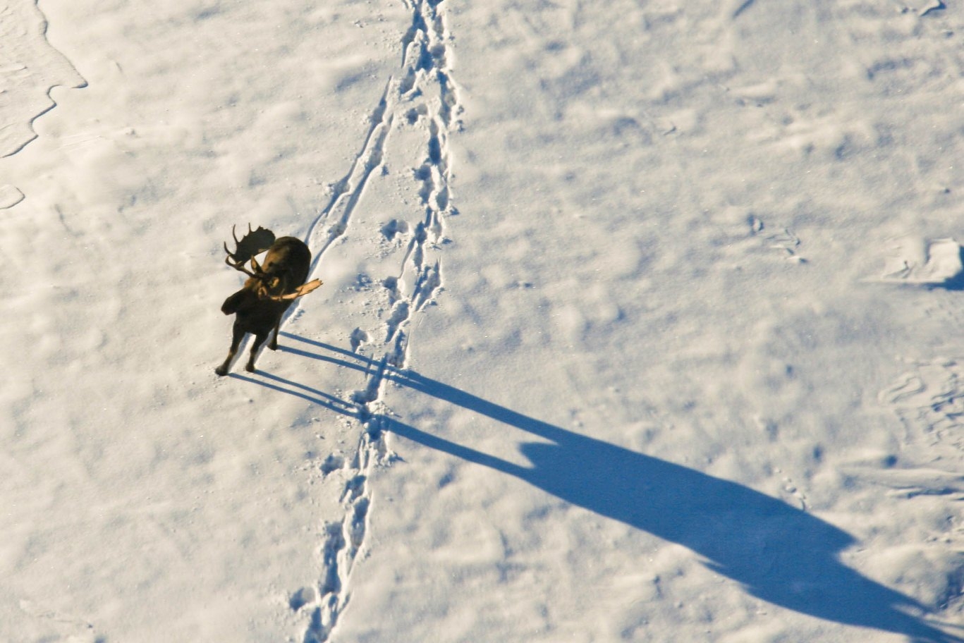
Thermal-camera drones found almost all moose (Alces alces) present in Swedish trials when winter conditions were cold, cloudy and calm. The result shows that drones can be highly effective for estimating moose density, but the researchers also found that weather, forest structure and how animals are distributed in the landscape strongly affect how a survey must be designed.
The study, commissioned by the Swedish Environmental Protection Agency, tested both automated grid flights and manually piloted surveys in three areas in northern and central Sweden. The researchers repeated flights, compared experienced pilots and used GPS-collared moose to check whether animals known to be inside the survey areas were actually detected.
Detection approached 100% in favourable winter weather
Under the favourable winter conditions used in the field trials, detection probability was close to 100%, and all GPS-collared moose within the surveyed plots were found. Manual and automated flights produced very similar results, and drone-based density estimates agreed with independent estimates from other monitoring methods where comparisons were possible.
Required coverage depended on how clustered the moose were
How much land must be surveyed depends on how clustered the moose are. Simulations indicated that covering about 20–30% of an area may be enough for useful density estimates when animals are only moderately aggregated, whereas populations concentrated in fewer places may require coverage of up to 50%. Estimating sex ratio and calves per cow generally requires still larger samples.
Finding a moose was easier than classifying sex and age
Finding a moose was also easier than classifying it. Sex and age could be determined from high-resolution zoom images, but reliable classification required extra flight time, several viewing angles and experienced observers. Sunlight creates another problem: warmed rocks can resemble animals in thermal images, while heated treetops can mask the heat signature of a moose below.
The authors therefore recommend repeated surveys in some plots when conditions are less favourable, so detection probability can be estimated rather than assuming every animal has been found. Battery endurance and aviation rules that restrict flights beyond the pilot’s visual line of sight also limit how efficiently large areas can be covered.
The report presents drones as a potential complement to Sweden’s existing moose-monitoring methods, not a replacement for them. Before drone data can be used routinely in management, the researchers call for standardised protocols, training and quality assurance, together with further tests under different weather, seasons and forest conditions.
Management
Related news
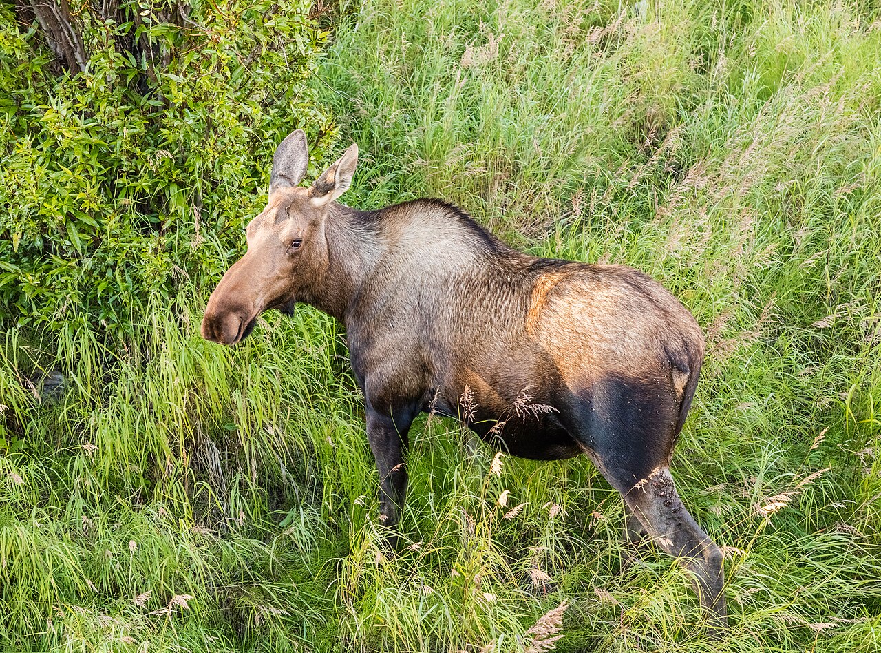
Arctic Moose Follow the River Valleys
GPS tracking in Alaska showed that half of 24 female moose migrated between summer and winter ranges. Migrants…
Read story →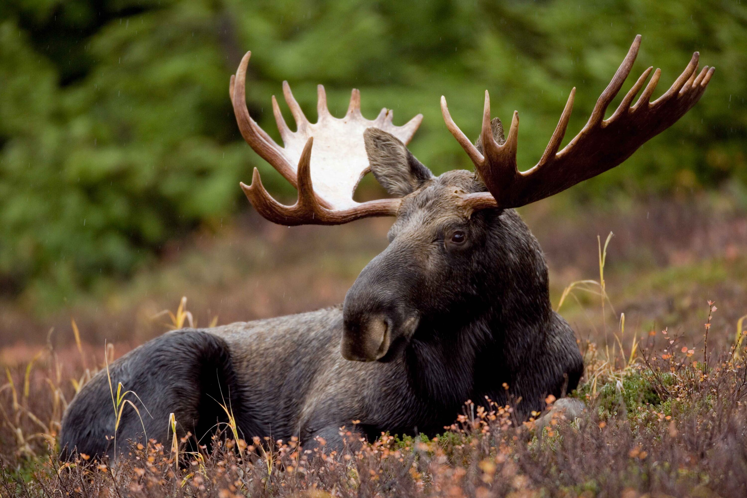
Even Adirondack Park’s Densest Moose Area Was Too Sparse for Precise Aerial Estimates
Helicopter surveys estimated about 92 moose in the Adirondack core in 2024 and 112 in 2025, but broad…
Read story →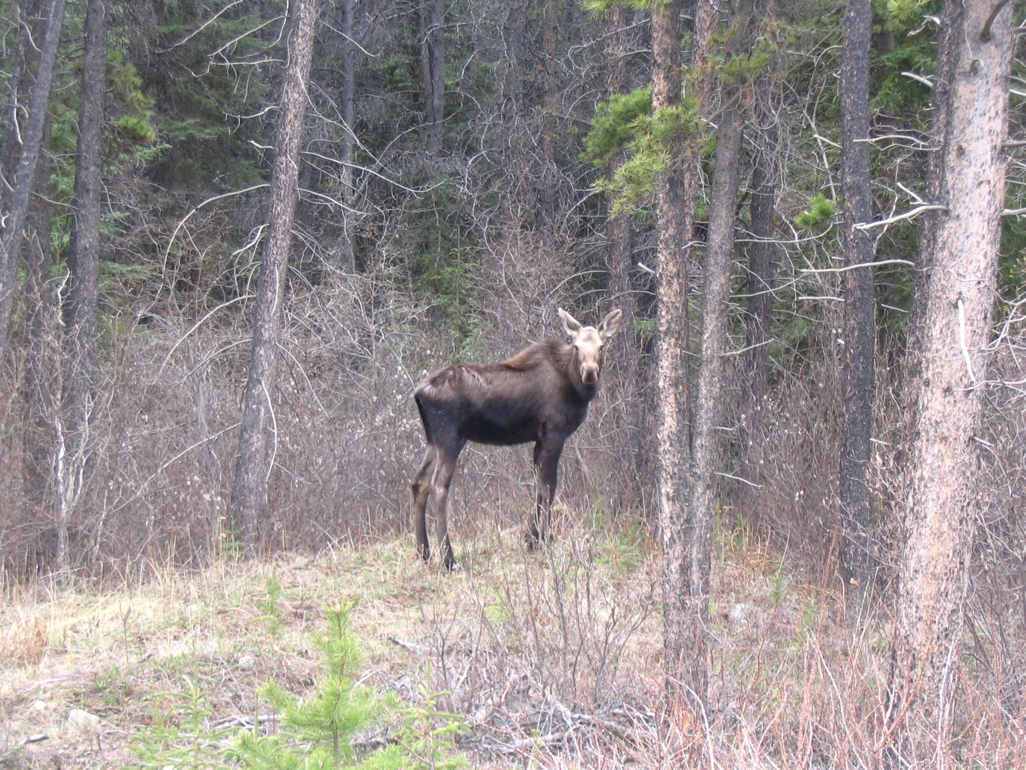
Female Moose Were More Likely to Migrate When Winter Ranges Had More Wildfire Disturbance
GPS data from 461 female moose in central British Columbia showed that spring migration was more likely when…
Read story →SPECIES IN THIS STORY
Species in this story
Independent research and conservation news archive
Did you find this information useful?
Wildlife Vagabond is independently built and maintained. Voluntary support helps cover source verification, hosting and continued work on research and conservation news.
Support Wildlife VagabondThe news archive will remain freely available.