
Estimated Red Deer Density Varied From Near Zero to About 99 per km² Across Four Lærdal Areas
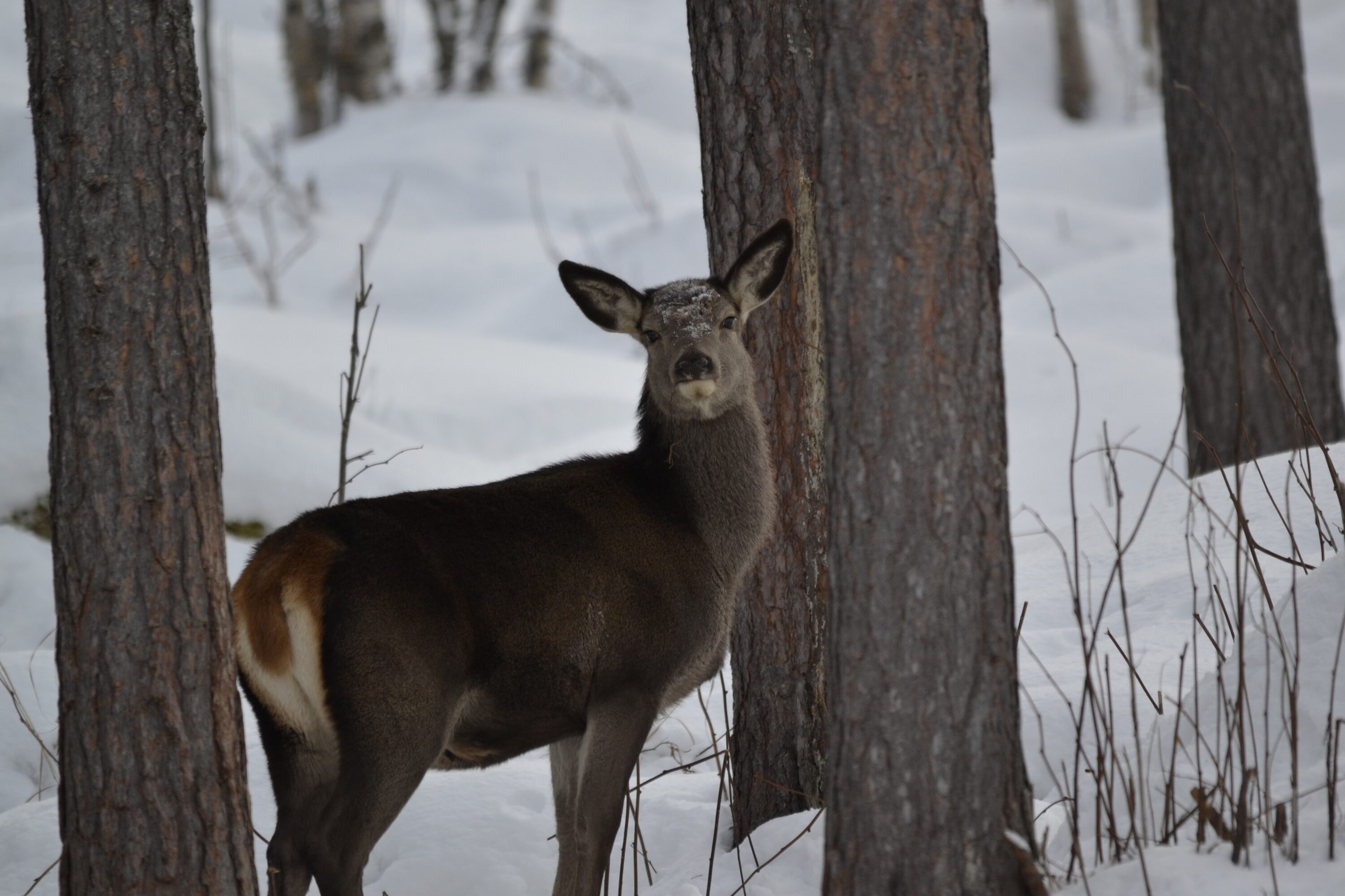
Estimated red deer (Cervus elaphus) density varied sharply among four study areas in Lærdal, western Norway, during March and April 2021. Estimates ranged from values close to zero to about 99 deer per km², although several estimates were uncertain.
The study was motivated partly by management around the Nordfjella chronic wasting disease (CWD) zone, where the Norwegian Environment Agency had recommended reducing red deer and moose densities to below one animal per km². In Haugen and Søre Bjørkum, the estimated densities remained clearly above that management target in both survey months despite the uncertainty.
Deer density was highly uneven across the landscape
Haugen had estimated densities of about 54 deer per km² in March and 99 in April. Søre Bjørkum was estimated at about 38 and 18 deer per km², while Rå was close to zero in both months. Sprakehaug was estimated at about 11 deer per km² in March and close to zero in April.
The researchers attribute much of the wide uncertainty to the way red deer cluster in groups. Nearby sampling areas can therefore contain very different numbers of animals. Reliable density estimates at a management scale require many sampling locations spread across a sufficiently large area to capture this uneven distribution.
Overlapping drone images helped account for missed deer
The researchers surveyed the four areas with overlapping drone photographs taken from different angles. Two observers independently searched the images. The multiple views suggested that deer were rarely hidden from every image, but visible animals could still be overlooked. The analysis therefore accounted for imperfect detection rather than treating every visible deer as certain to be found.
The drones also affected deer behaviour. Wild deer close to the observers ran when the drone took off, while animals photographed during overflights often looked toward the drone and sometimes briefly froze. Deer that were standing or lying generally stayed in place, and moving animals did not appear to increase their speed. The authors recommend flying no lower than 60 metres above ground when surveying red deer.
The study shows that drones can produce absolute red deer density estimates with quantified uncertainty in steep, rugged terrain. The main challenge was not simply seeing deer from the air, but sampling enough of a landscape to represent how strongly the animals cluster in space.
Population & status
Related news
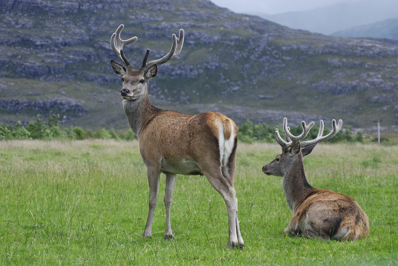
Velvet Antler Had the Most Distinct Metabolite Profile in Red and Sika Deer
A Chinese study detected 2,361 metabolites across three antler tissues from red and sika deer. Velvet antler separated…
Read story →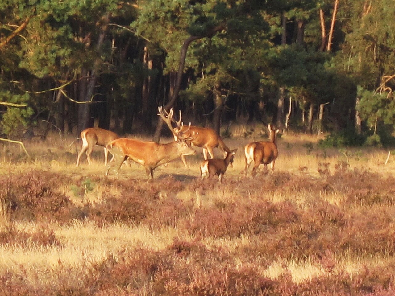
Tarim Red Deer Microbiomes Showed Greater Capacity to Break Down Reed Fibre
Under the same reed-containing diet, captive Tarim red deer had more fibre-associated gut microbes, higher cellulase and hemicellulase…
Read story →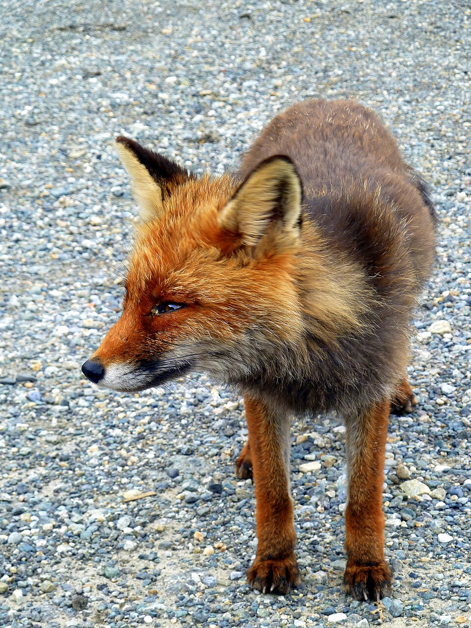
Wolf Kills Provided Plenty of Food for Red Foxes
Red foxes visited all 26 wolf-killed red deer monitored in Stelvio National Park. The amount of meat left…
Read story →SPECIES IN THIS STORY
Species in this story
Independent research and conservation news archive
Did you find this information useful?
Wildlife Vagabond is independently built and maintained. Voluntary support helps cover source verification, hosting and continued work on research and conservation news.
Support Wildlife VagabondThe news archive will remain freely available.